
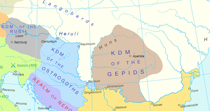
Image: Carpathian Basin in 476 AD
No higher resolution available.
Carpathian_Basin_in_476_AD.png (800 × 424 pixels, file size: 72 KB, MIME type: image/png)
Description: Map of the Pannonian, Carpathian Basin in 476 AD, after the fall of Rome
Title: Carpathian Basin in 476 AD
Credit: Original file: https://commons.wikimedia.org/wiki/File:Europe_and_the_Near_East_at_476_AD.png
Author: User:Guriezous made the full map. Cropped version by User:Gyalu22
Usage Terms: Creative Commons Attribution-Share Alike 4.0
License: CC BY-SA 4.0
License Link: https://creativecommons.org/licenses/by-sa/4.0
Attribution Required?: Yes
Image usage
The following page links to this image:

All content from Kiddle encyclopedia articles (including the article images and facts) can be freely used under Attribution-ShareAlike license, unless stated otherwise.