
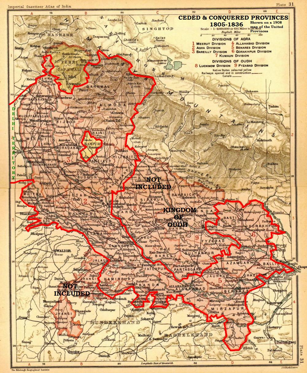
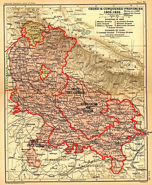
Image: Ceded Conquered Provinces details
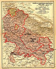
Size of this preview: 493 × 599 pixels. Other resolutions: 197 × 240 pixels | 1,000 × 1,215 pixels.
Original image (1,000 × 1,215 pixels, file size: 369 KB, MIME type: image/jpeg)
Description: Map from personal copy of Imperial Gazetteer of India (Oxford University Press, 1908), vol. 25 (Atlas). Scanned, cropped, resized, and labeled (to show the Ceded and Conquered Provinces) by Fowler&fowler«Talk» 01:25, 1 June 2008 (UTC)
Title: Ceded Conquered Provinces details
Credit: Own work
Author: Fowler&fowler (talk) (Uploads)
Usage Terms: Public domain
License: PD
Attribution Required?: No
Image usage
The following page links to this image:

All content from Kiddle encyclopedia articles (including the article images and facts) can be freely used under Attribution-ShareAlike license, unless stated otherwise.