
Image: CentralEastAfrica1750
No higher resolution available.
CentralEastAfrica1750.png (574 × 380 pixels, file size: 27 KB, MIME type: image/png)
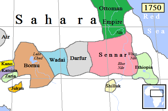
Description: Map of Central-East Africa in AD 1750. (Partially based on Atlas of World History (2007) - Early modern Africa, map.)
Title: CentralEastAfrica1750
Credit: Own work
Author: Gabagool
Usage Terms: Creative Commons Attribution 3.0
License: CC BY 3.0
License Link: http://creativecommons.org/licenses/by/3.0
Attribution Required?: Yes
Image usage
The following page links to this image:

All content from Kiddle encyclopedia articles (including the article images and facts) can be freely used under Attribution-ShareAlike license, unless stated otherwise.