
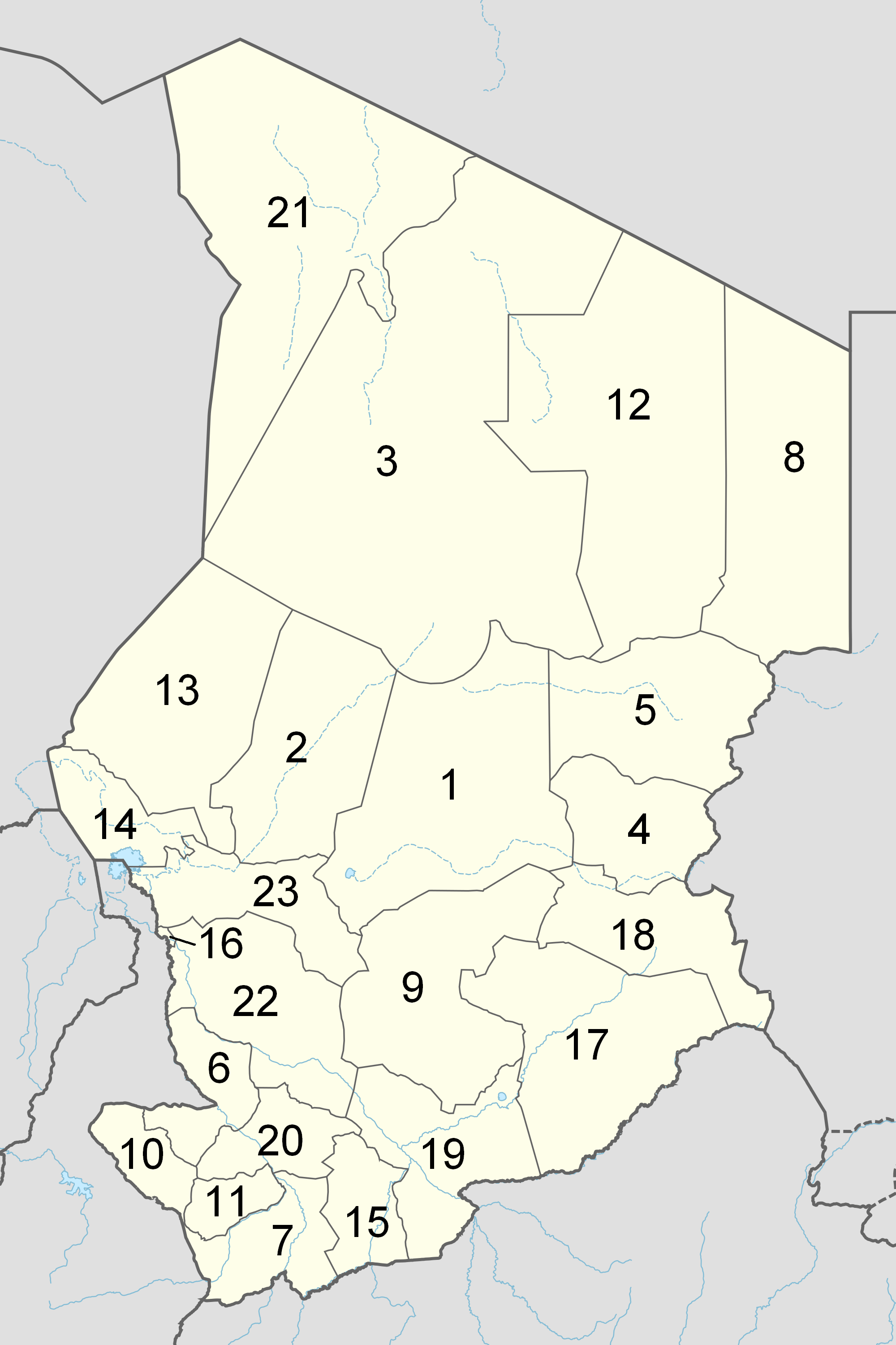
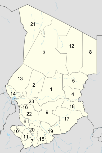
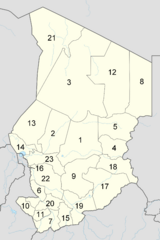
Image: Chad adm location map after 2012
Size of this preview: 399 × 599 pixels. Other resolutions: 160 × 240 pixels | 2,000 × 3,001 pixels.
Original image (2,000 × 3,001 pixels, file size: 524 KB, MIME type: image/png)
Description: Numbered map of the administrative regions in Chad as after the 2012 reform.
Title: Chad adm location map after 2012
Credit: Own work (ed. File:Chad departments.png)
Author: Siver-Snom
Usage Terms: Public domain
License: Public domain
Attribution Required?: No
Image usage
The following page links to this image:

All content from Kiddle encyclopedia articles (including the article images and facts) can be freely used under Attribution-ShareAlike license, unless stated otherwise.