
Image: CherryValleyMassacreMap
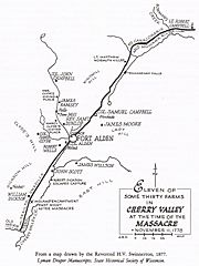
Size of this preview: 450 × 600 pixels. Other resolutions: 180 × 240 pixels | 1,391 × 1,854 pixels.
Original image (1,391 × 1,854 pixels, file size: 402 KB, MIME type: image/jpeg)
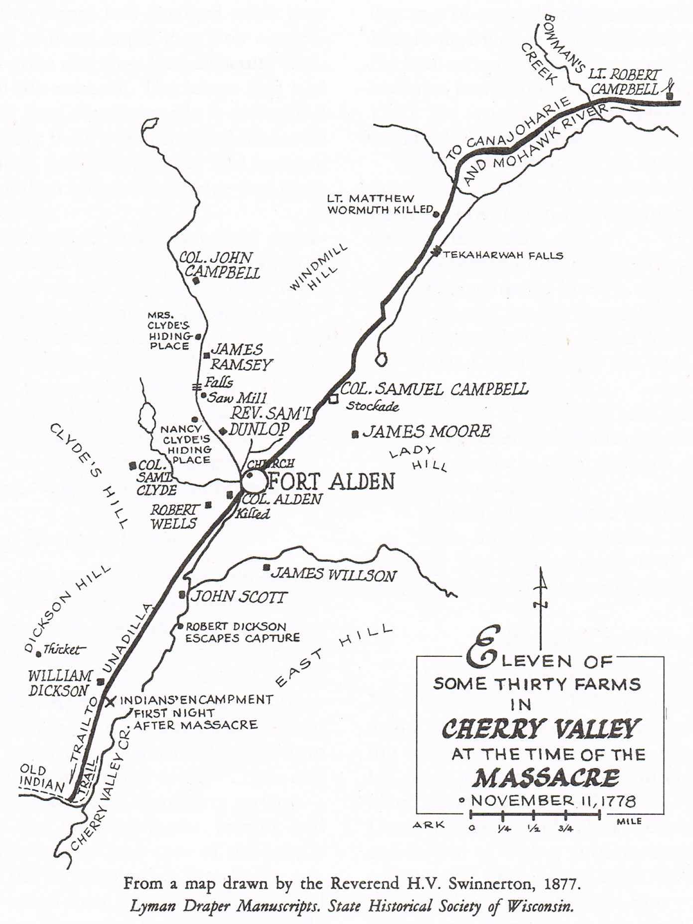
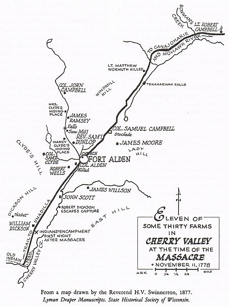
Description: Map of Cherry Valley at the time of the massacre. From a map drawn by the Reverend H. V. Swinnerton, 1877, from the Lyman Draper Manuscripts, State Historical Society of Wisconsin, as reproduced in the book by Leo L. Lemonds: Col. William Stacy – Revolutionary War Hero, Cornhusker Press, Hastings, Nebraska (1993). ColWilliam (talk) 01:47, 2 January 2009 (UTC)
Title: CherryValleyMassacreMap
Usage Terms: Public domain
License: Public domain
Attribution Required?: No
Image usage
The following page links to this image:

All content from Kiddle encyclopedia articles (including the article images and facts) can be freely used under Attribution-ShareAlike license, unless stated otherwise.