
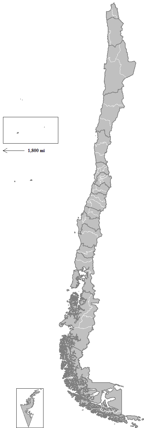
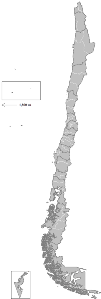
Image: Chile provinces
Size of this preview: 202 × 598 pixels. Other resolutions: 81 × 240 pixels | 477 × 1,413 pixels.
Original image (477 × 1,413 pixels, file size: 19 KB, MIME type: image/png)
Description: Map of the provinces of Chile. Created by Rarelibra 16:03, 11 April 2007 (UTC) for public domain use, using MapInfo Professional v8.5 and various mapping resources.
Title: Chile provinces
Credit: No machine-readable source provided. Own work assumed (based on copyright claims).
Author: No machine-readable author provided. Rarelibra assumed (based on copyright claims).
Usage Terms: Public domain
License: Public domain
Attribution Required?: No
Image usage
The following page links to this image:

All content from Kiddle encyclopedia articles (including the article images and facts) can be freely used under Attribution-ShareAlike license, unless stated otherwise.