
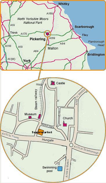
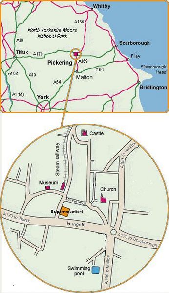
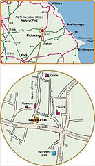
Image: Circle map Pickering
Size of this preview: 346 × 599 pixels. Other resolutions: 138 × 240 pixels | 365 × 632 pixels.
Original image (365 × 632 pixels, file size: 46 KB, MIME type: image/jpeg)
Description: Type: Scan of a sketch map created with Adobe Photoshop Elements. Source: Harkey Lodger Author: Harkey Lodger Photographer:N/A Copyright holder:Harkey Lodger Location: Pickering, North Yorkshire Co-ordinates: Time: Date: Monday, 22 January, 2007 Camera/scanner: Epson Stylus Photo RX520 Modifications: Rationale: A map to illustrate the position of Pickering, North Yorkshire. Notes: License:The author grants the use of the image under the GDFL and/or Creative Commons licenses.
Title: Circle map Pickering
Credit: Own work
Author: Harkey_Lodger (talk) (Uploads)
Usage Terms: Attribution-ShareAlike 3.0
License: Cc-by-sa-3.0
License Link: https://creativecommons.org/licenses/by-sa/3.0/
Image usage
The following page links to this image:

All content from Kiddle encyclopedia articles (including the article images and facts) can be freely used under Attribution-ShareAlike license, unless stated otherwise.