
Image: City of Lancaster parishes map

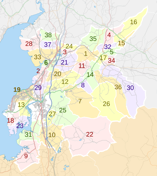
Description: Map of civil parishes in the City of Lancaster district, Lancashire, England. Equirectangular map projection on WGS 84 datum, with N/S stretched 165% Geographic limits: West: 2.93W East: 2.43W North: 54.25N South: 53.91N Key Arkholme-with-Cawood Bolton-le-Sands Borwick Burrow-with-Burrow Cantsfield Carnforth Caton-with-Littledale Claughton Cockerham Ellel Gressingham Halton-with-Aughton Heaton-with-Oxcliffe Hornby-with-Farleton Ireby Leck Melling-with-Wrayton Middleton Morecambe Nether Kellet Over Kellet Over Wyresdale Overton Priest Hutton Quernmore Roeburndale Scotforth Silverdale Slyne-with-Hest Tatham Thurnham Tunstall Warton Wennington Whittington Wray-with-Botton Yealand Conyers Yealand Redmayne
Title: City of Lancaster parishes map
Credit: This file was derived from: Lancaster UK ward map 2010 (blank).svg: Lancashire UK parish map (blank).svg: http://www.openstreetmap.org/#map=10/54.0767/-2.6353
Author: Lancaster UK ward map 2010 (blank).svg: Nilfanion, created using Ordnance Survey data Lancashire_UK_parish_map_(blank).svg: Nilfanion, created using Ordnance Survey data OpenStreetMap: OpenStreetMap contributors derivative work: Dr Greg
Usage Terms: Creative Commons Attribution-Share Alike 4.0
License: CC BY-SA 4.0
License Link: http://creativecommons.org/licenses/by-sa/4.0
Attribution Required?: Yes
Image usage
The following page links to this image:
