
Image: Clip of Franquelin's map of Louisiana 1684
No higher resolution available.
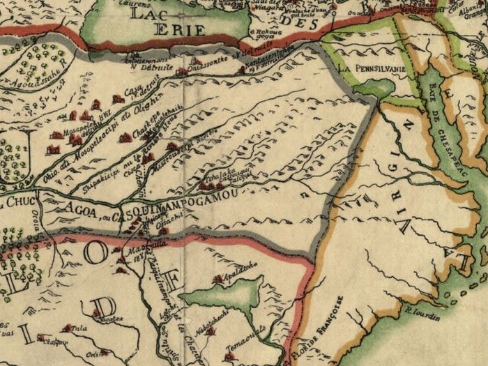
Clip_of_Franquelin's_map_of_Louisiana_1684.jpg (700 × 525 pixels, file size: 357 KB, MIME type: image/jpeg)
Description: Franquelin's map of Louisiana.anquelin's map of Louisiana. LaSalle sailed to France in November of 1683 accompanied by Franquelin, created the map in 1684.
Title: Clip of Franquelin's map of Louisiana 1684
Credit: Library Of Congress (USA) http://memory.loc.gov/cgi-bin/map_item.pl
Author: Jean Baptist Louis Franquelin
Permission: Old Map
Usage Terms: Public domain
License: Public domain
License Link: //en.wikipedia.org/wiki/File:Clip_of_Franquelin%27s_map_of_Louisiana_1684.jpg
Image usage
The following page links to this image:

All content from Kiddle encyclopedia articles (including the article images and facts) can be freely used under Attribution-ShareAlike license, unless stated otherwise.