
Image: Coconino County incorporated areas Forest Lakes highlighted

Size of this PNG preview of this SVG file: 500 × 600 pixels. Other resolution: 200 × 240 pixels.
Original image (SVG file, nominally 700 × 840 pixels, file size: 60 KB)
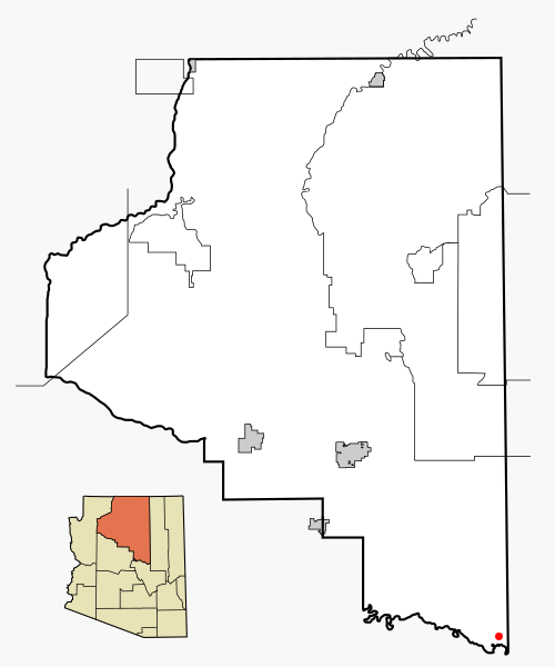
Description: This map shows the incorporated areas and Indian reservations in Coconino County, Arizona, highlighting Forest Lakes in red. I created it in Inkscape using data from the Coconino county government website and the US Census Bureau.
Title: Coconino County incorporated areas Forest Lakes highlighted
Credit: Based on similar map concepts by Ixnayonthetimmay
Author: Arkyan
Permission: Copyleft-type licensing. See below.
Usage Terms: Creative Commons Attribution-Share Alike 3.0
License: CC BY-SA 3.0
License Link: http://creativecommons.org/licenses/by-sa/3.0
Attribution Required?: Yes
Image usage
The following page links to this image:

All content from Kiddle encyclopedia articles (including the article images and facts) can be freely used under Attribution-ShareAlike license, unless stated otherwise.