
Image: Columbia estuary map-fr

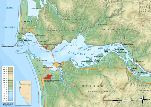
Description: Topographic and administrative map in French of the estuary of Columbia River
Title: Columbia estuary map-fr
Credit: Own work ; Topographic data from the NASA Shuttle Radar Topography Mission (SRTM1) (public domain) edited with 3DEM, vectorized with Inkscape ; UTM projection ; WGS84 datum ; shaded relief (image of N-W lightning position) ; Coast, rivers : NASA SWBD (SRTM Water Body Data) ; Bathymetry : NGDC ETOPO1 edited with Global Mapper 9 (dlgv32pro limited edition), de l'United States Geological Survey (USGS); Boundaries, cities, roads, some rivers : OpenStreetMap ; Locator map from File:BlankMap-World6.svg Others symbols from File:Maps template-fr.svg Note : The shaded relief is a raster image embedded in the SVG file.
Author: Bourrichon - fr:Bourrichon
Permission: You may select the license of your choice.
Usage Terms: Creative Commons Attribution-Share Alike 3.0
License: CC BY-SA 3.0
License Link: https://creativecommons.org/licenses/by-sa/3.0
Attribution Required?: Yes
Image usage
The following page links to this image:
