
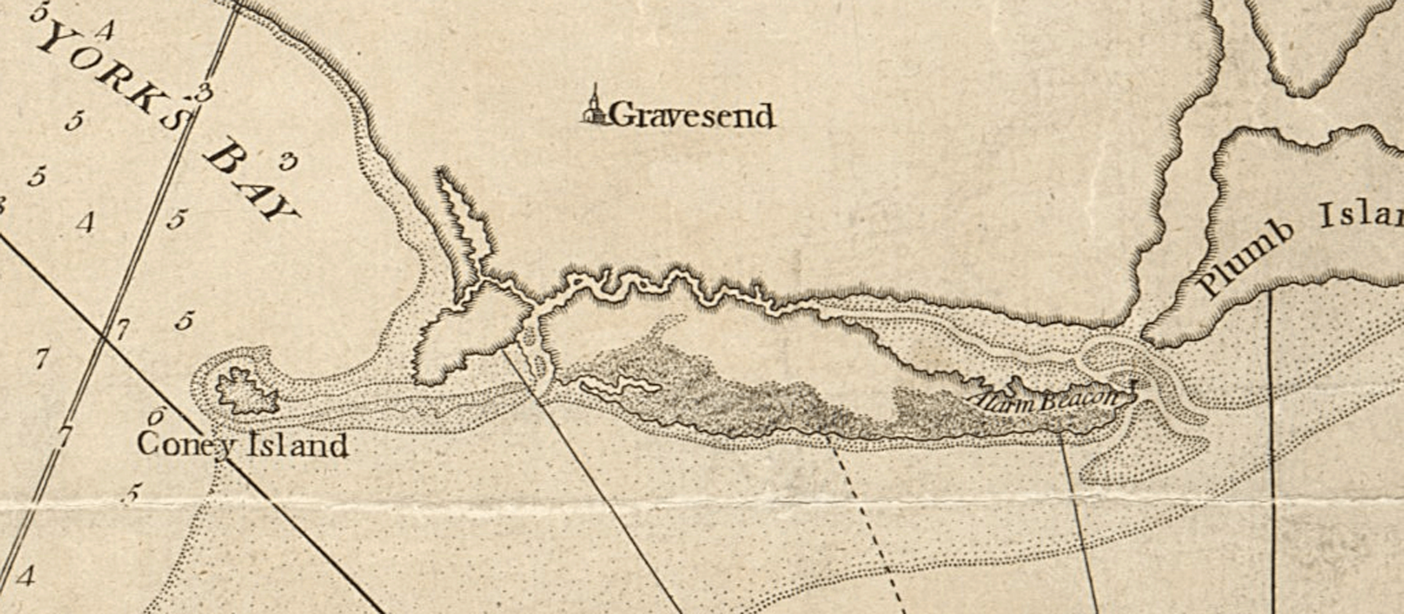
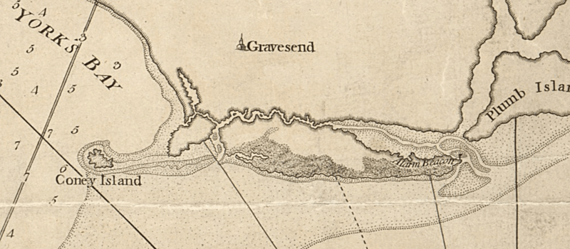
Image: Coney Island (Detail) Chart of the entrance of Hudson's River, from Sandy Hook to New York - with the banks, depths of water, sailing-marks, &ca (NYPL b14099970-1222740)
Description: Edited detail of a 1776 map showing historic Coney Island and surroundings of lower Brooklyn, New York City. Depths shown by soundings. Relief shown by hachures. Citation/Reference: Phillips 1209 Appears in The North-American pilot for New England, New York, Pensilvania, Maryland, and Virginia. 1777.
Title: Coney Island (Detail) Chart of the entrance of Hudson's River, from Sandy Hook to New York - with the banks, depths of water, sailing-marks, &ca (NYPL b14099970-1222740)
Credit: Detail of this map, original at http://digitalcollections.nypl.org/items/510d47de-1009-a3d9-e040-e00a18064a99
Author: Scan by NYPL
Permission: This image is available from the New York Public Library's Digital Library under the digital ID 7eb5e9f0-c5d5-012f-10f3-58d385a7bc34: digitalgallery.nypl.org → digitalcollections.nypl.org This tag does not indicate the copyright status of the attached work. A normal copyright tag is still required. See Commons:Licensing for more information. বাংলা | English | français | Nederlands | русский | Türkçe | 中文 |+/−
Usage Terms: Public domain
License: Public domain
Attribution Required?: No
Image usage
The following page links to this image:

_Chart_of_the_entrance_of_Hudson's_River,_from_Sandy_Hook_to_New_York_-_with_the_banks,_depths_of_water,_sailing-marks,_&ca_(NYPL_b14099970-1222740).png)