
Image: Cook-1777
Size of this preview: 800 × 560 pixels. Other resolutions: 320 × 224 pixels | 3,807 × 2,664 pixels.
Original image (3,807 × 2,664 pixels, file size: 3.33 MB, MIME type: image/png)
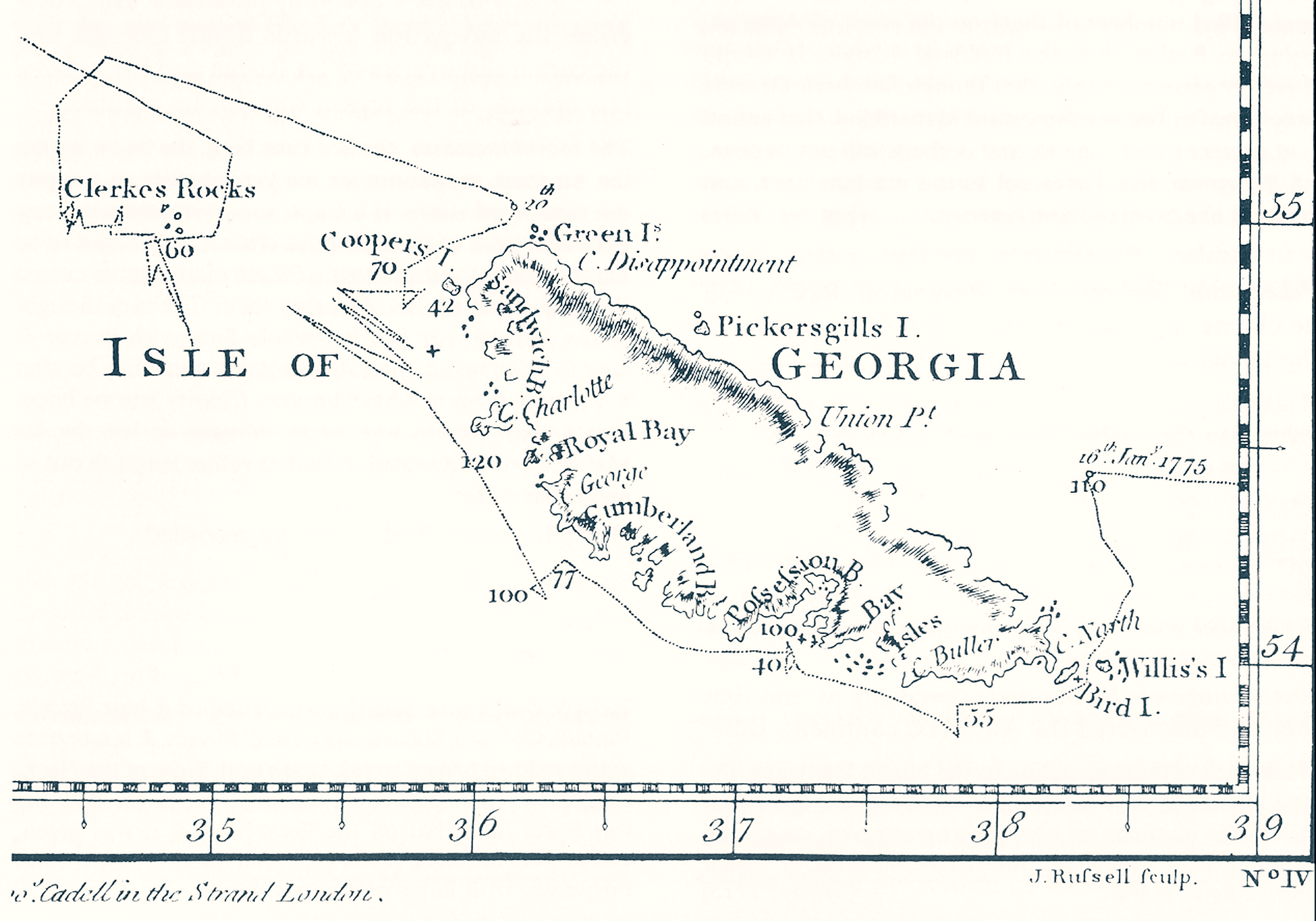
Description: James Cook, Chart of the Discoveries made in the South Atlantic Ocean, in His Majestys Ship Resolution, under the Command of Captain Cook, in January 1775, W. Strahan and T. Cadel, London, 1777. (South-Up map, fragment)
Title: Cook-1777
Credit: Image:Cook-1777.jpg
Author: Apcbg
Usage Terms: Public domain
License: Public domain
Attribution Required?: No
Image usage
The following 2 pages link to this image:

All content from Kiddle encyclopedia articles (including the article images and facts) can be freely used under Attribution-ShareAlike license, unless stated otherwise.