
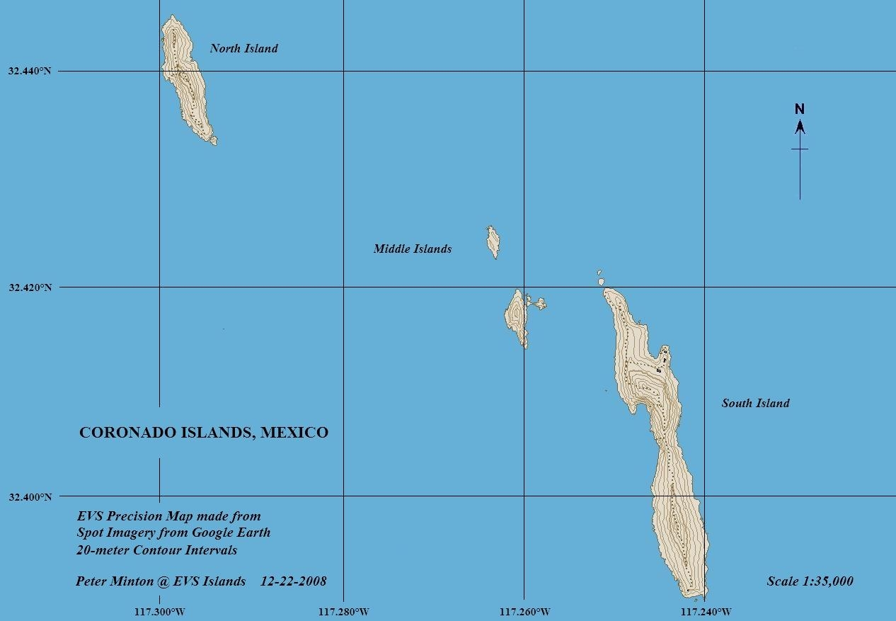
Image: Coronado Islands Map
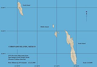
Size of this preview: 800 × 554 pixels. Other resolutions: 320 × 222 pixels | 1,266 × 877 pixels.
Original image (1,266 × 877 pixels, file size: 129 KB, MIME type: image/jpeg)
Description: Topographic map of Coronado Islands, Mexico - EVS Precison Map (1:35,000)
Title: Coronado Islands Map
Credit: flickr
Author: Peter Minton (EVS Island)
Usage Terms: Creative Commons Attribution 2.0
License: CC BY 2.0
License Link: https://creativecommons.org/licenses/by/2.0
Attribution Required?: Yes
Image usage
The following page links to this image:

All content from Kiddle encyclopedia articles (including the article images and facts) can be freely used under Attribution-ShareAlike license, unless stated otherwise.