
Image: Cotswolds AONB locator map

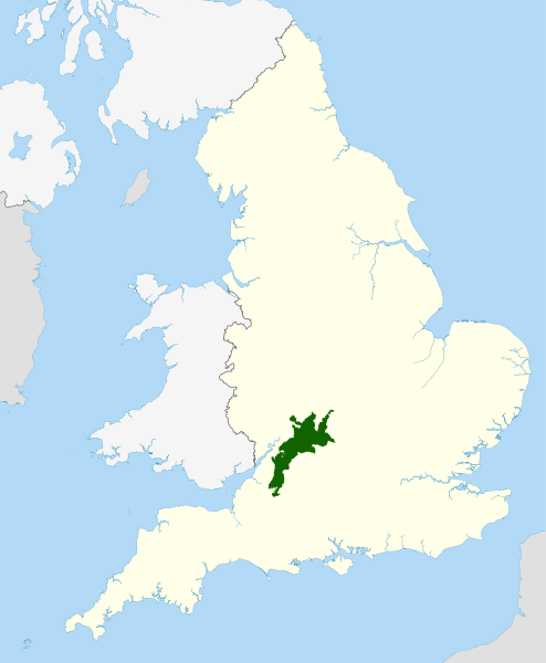
Description: Locator map of the Cotswolds range of hills in central and western England. Located in Gloucestershire, Oxfordshire, and Worcestershire. An Area of Outstanding Natural Beauty in England.
Title: Cotswolds AONB locator map
Credit: Ordnance Survey OpenData: Great Britain coastline and border data Natural England AONB boundary National Geospatial-Intelligence Agency All data outside of Great Britain
Author: Nilfanion, using Ordnance Survey and Natural England data
Permission: This file is licensed under the Creative Commons Attribution-Share Alike 3.0 Unported license. Attribution: © Natural England copyright 2012. Contains Ordnance Survey data © Crown copyright and database right 2012 You are free: to share – to copy, distribute and transmit the work to remix – to adapt the work Under the following conditions: attribution – You must attribute the work in the manner specified by the author or licensor (but not in any way that suggests that they endorse you or your use of the work). share alike – If you alter, transform, or build upon this work, you may distribute the resulting work only under the same or similar license to this one. http://creativecommons.org/licenses/by-sa/3.0 CC BY-SA 3.0 Creative Commons Attribution-Share Alike 3.0 truetrue
Usage Terms: Creative Commons Attribution-Share Alike 3.0
License: CC BY-SA 3.0
License Link: http://creativecommons.org/licenses/by-sa/3.0
Attribution Required?: Yes
Image usage
The following page links to this image:
