
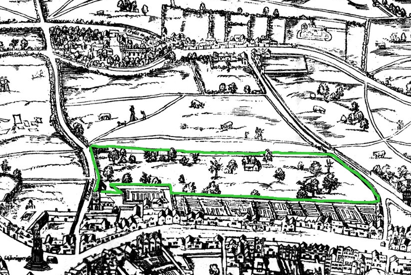
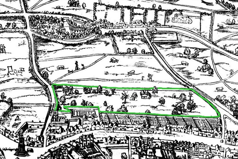
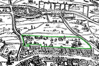
Image: Covent Garden from the Ralph Agas 1572 map of London - marked
Description: The earliest proper map (as opposed to panorama) of London known. Attributed to Ralph Agas, and probably surveyed between 1570 and 1605. The original was 6 foot 0.5 inches long by 2 feet 4.5 inches wide. This much reduced image is a scan of a copy of a lithograph of a copy, was itself badly repaired with sellotape and has had to be "restored"; so is hardly a truly faithful representation of the original, but few good copies exist and no other detailed public domain images are known.
Title: Covent Garden from the Ralph Agas 1572 map of London - marked
Credit: Covent_Garden_from_the_Ralph_Agas_1572_map_of_London.jpg
Author: Covent_Garden_from_the_Ralph_Agas_1572_map_of_London.jpg: *Civitas_Londinium_or_The_Agas_Map_of_London.jpg: Mike Calder, image of Civitas Londinium, Agas' Map of London, c. 1570-1605 derivative work: SilkTork (talk) derivative work: SilkTork (talk)
Usage Terms: Public domain
License: Public domain
Attribution Required?: No
Image usage
The following page links to this image:
