
Image: Creek flood 1

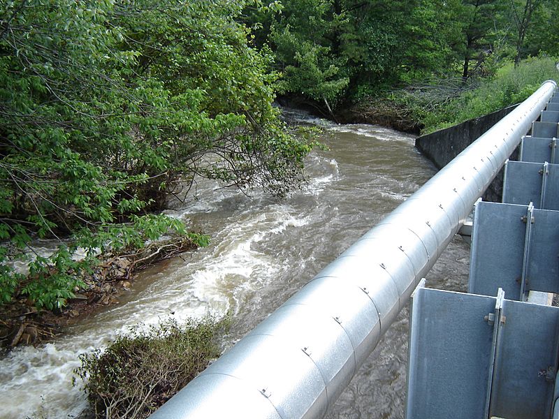
Description: Sony DSC-P73 Camera image of a bank full Nesquehoning Creek taken 12:51hrs, 27 June 2006 from highway US Route 209 above (west of) Jim Thorpe, Pennsylvania. Based on the general gradient along the creek bed being steep, the presence of the low bank from guardrail to water surface, and the gentle grade and turn of the creek left while the terrain seems to open out, it is probable this view is also below Nesquehoning, PA near the turn between the two towns. That reasoning places it near the Nesquehoning Creek mouth, which implies it was also taken near the lost hamlet of Lausanne Landing—the first settled area above the Lehigh Gap and Lehighton, PA (near the mouth of Mahoning Creek). Out of frame in the picture, is the railroad tracks running parallel to both creek and highway built by the Nequehoning Railroad.
Title: Creek flood 1
Credit: Transferred from en.wikipedia to Commons.
Author: Chris18240 at English Wikipedia
Usage Terms: Public domain
License: Public domain
Attribution Required?: No
Image usage
The following page links to this image:
