
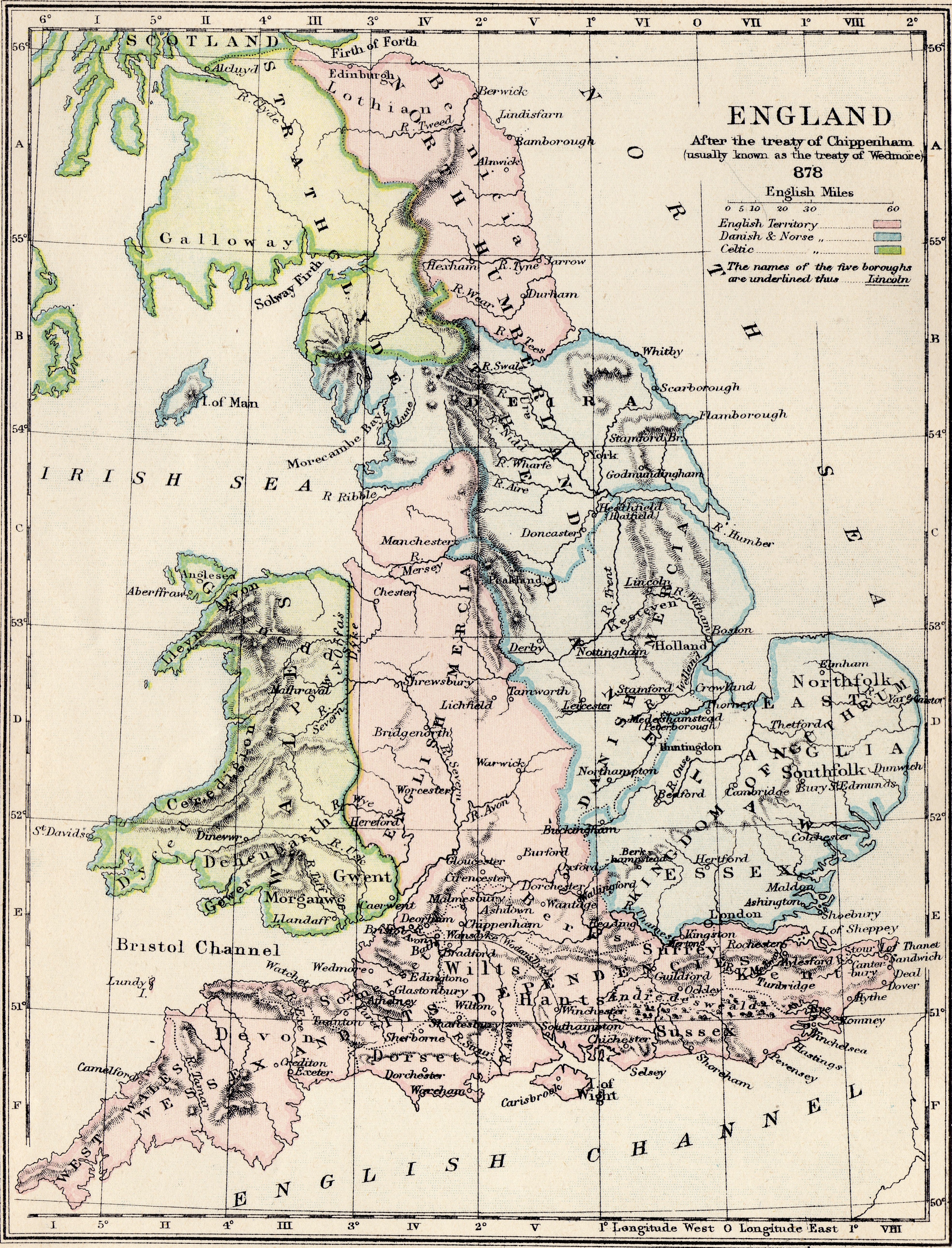
Image: DanelawEngland
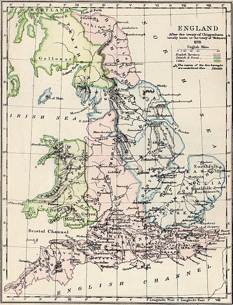
Size of this preview: 457 × 599 pixels. Other resolutions: 183 × 240 pixels | 3,940 × 5,165 pixels.
Original image (3,940 × 5,165 pixels, file size: 8.87 MB, MIME type: image/jpeg)
Description: England in 878: boundaries were fluid, the map is probably inaccurate overall, and so should only be regarded as giving a general indication.
Title: DanelawEngland
Credit: A School Atlas Of English History, Longmans, Green
Author: S. R. Gardiner
Usage Terms: Public domain
License: Public domain
Attribution Required?: No
Image usage
The following page links to this image:

All content from Kiddle encyclopedia articles (including the article images and facts) can be freely used under Attribution-ShareAlike license, unless stated otherwise.