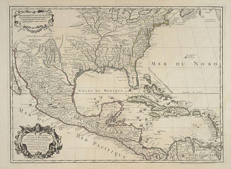
Image: Delisle Carte du Mexique et de la Floride 1703 (1745) UTA

Description: Cartouches by Charles Simmoneau the Elder. Delisle's 1703 map, seen in this virtually identical 1745 reissue by his son-in-law and successor Philippe Buache, was one of the first printed maps to give a good general idea of the course of the Mississippi River and some of its major tributaries. It included information from d'Iberville's and La Salle's explorations, Spanish texts, Coronelli's (Penalosa's) New Mexico, Bisente's chart, and Sigüenza's map. East of the Missisippi Delisle's Apalachicola River flows almost due south from a large lake in present Tennessee based on information from seventeenth-century Englishman Richard Bristock or Brigstock. Delisle attempted to include locations of many Native American tribes, spelling their names in phoenetic French: Alibamous, Chaktas, Chicachas, Caddodaquio, Choumans, and others. Delisle's map was widely copied throughout Europe.
Title: Carte du Mexique et de la Floride des Terres Angloises et des Isles Antilles: du Cours et des Environs de la Riviere de Mississipi
Credit: UTA Libraries Cartographic Connections: map / text
Author: Guillaume Delisle
Usage Terms: Public domain
License: Public domain
Attribution Required?: No
Image usage
The following page links to this image:

