
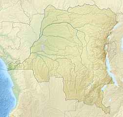
Image: Democratic Republic of the Congo relief location map

Description: Relief location map of Democratic_Republic_of_the_Congo. Projection: Equirectangular projection, stretched by 100.0%. Geographic limits of the map: N: 6.0° N S: -14.0° N W: 11.0° E E: 32.0° E GMT projection: -JX19.473333333333333cd/18.546031746031744cd GMT region: -R11.0/-14.0/32.0/6.0r GMT region for grdcut: -R11.0/-14.0/32.0/6.0r Relief: SRTM30plus. Made with Natural Earth. Free vector and raster map data @ naturalearthdata.com.
Title: Democratic Republic of the Congo relief location map
Credit: Own work
Author: Uwe Dedering
Usage Terms: Creative Commons Attribution-Share Alike 3.0
License: CC BY-SA 3.0
License Link: https://creativecommons.org/licenses/by-sa/3.0
Attribution Required?: Yes
Image usage
The following 2 pages link to this image:
