
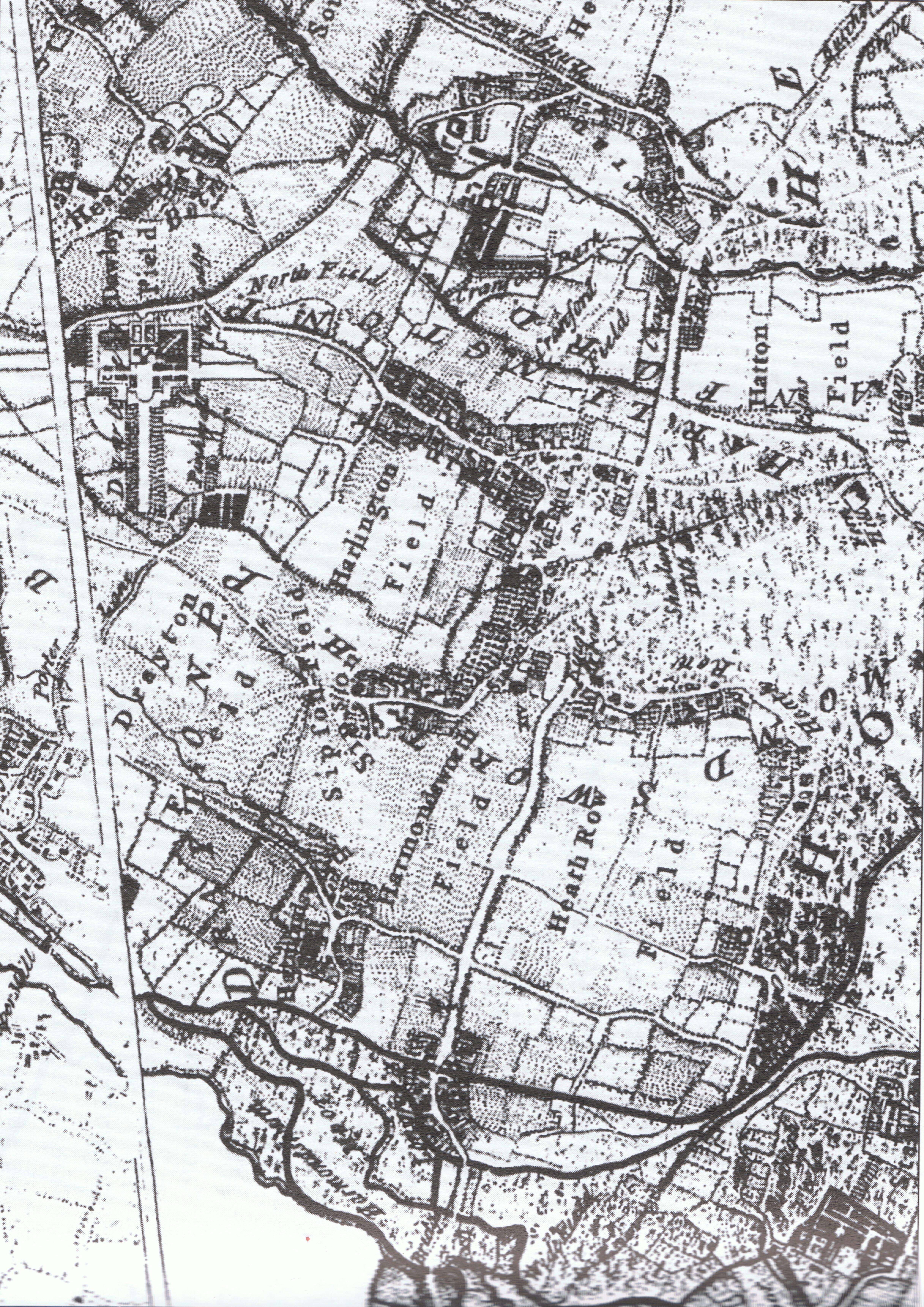
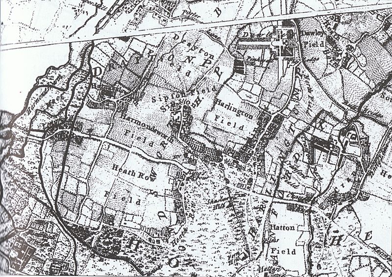
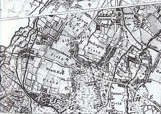
Image: Detail of 'A Map of the County of Middlesex Reduced from the an Actual Survey in four Sheets By John Rocque'
Size of this preview: 800 × 566 pixels. Other resolution: 320 × 226 pixels.
Original image (6,883 × 4,868 pixels, file size: 5.83 MB, MIME type: image/jpeg)
Description: A Map of the County of Middlesex Reduced from the an Actual Survey in four Sheets By John Rocque / Carte de la Province de Middlesex reduite D'apres un arpanlage en quatre feuilles Par Jean Rocque 1757.
Title: Detail of 'A Map of the County of Middlesex Reduced from the an Actual Survey in four Sheets By John Rocque'
Credit: Original publication: GB Immediate source: Philip Sherwood in Harlington and Harmondsworth, Stroud, 2002, page 9. Also: British Library (London) and Daniel Crouch Rare Books (London).
Author: John Rocque (Life time: circa 1709-1762)
Usage Terms: Public domain
License: Public domain
Attribution Required?: No
Image usage
The following page links to this image:

All content from Kiddle encyclopedia articles (including the article images and facts) can be freely used under Attribution-ShareAlike license, unless stated otherwise.