
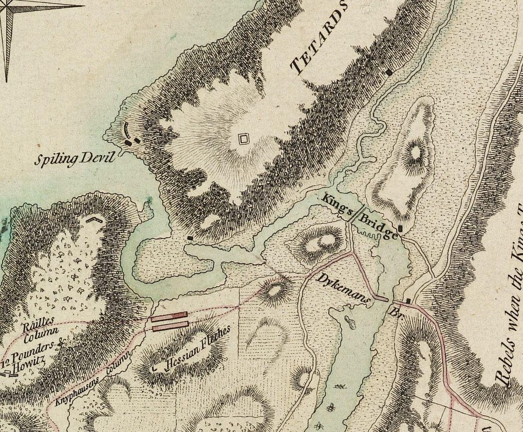
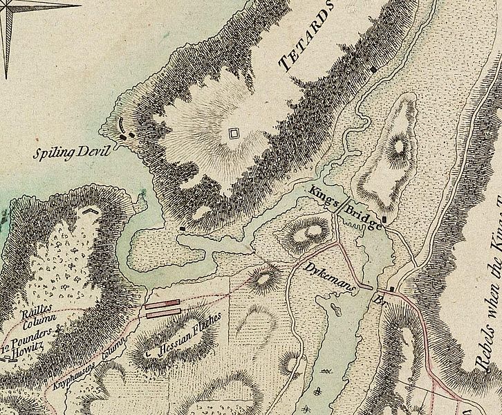
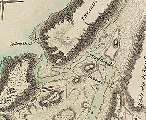
Image: Detail of Battle Of Fort Washington Map By Sauthier
Size of this preview: 726 × 600 pixels. Other resolutions: 291 × 240 pixels | 1,018 × 841 pixels.
Original image (1,018 × 841 pixels, file size: 443 KB, MIME type: image/jpeg)
Description: Excerpt from the Battle Of Fort Washington Map By Sauthier showing original course of Spuyten Duyvil Creek, and locations of King's Bridge, Dyckman's Bridge, and Marble Hill area then part of Manhattan
Title: Detail of Battle Of Fort Washington Map By Sauthier
Credit: File:BattleOfFortWashingtonMapBySauthier
Author: Claude J. Sauthier
Usage Terms: Public domain
License: Public domain
Attribution Required?: No
Image usage
The following 3 pages link to this image:

All content from Kiddle encyclopedia articles (including the article images and facts) can be freely used under Attribution-ShareAlike license, unless stated otherwise.