
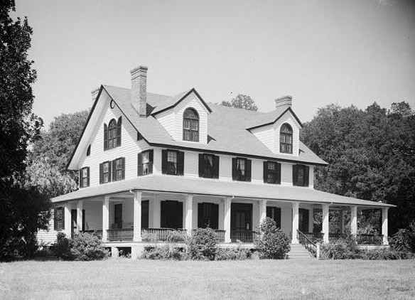
Image: Dirleton Plantation, Road S-22-52 vicinity, Georgetown vicinity (Georgetown County, South Carolina)
No higher resolution available.
Dirleton_Plantation,_Road_S-22-52_vicinity,_Georgetown_vicinity_(Georgetown_County,_South_Carolina).jpg (584 × 422 pixels, file size: 82 KB, MIME type: image/jpeg)
Description: Dirleton Plantation, Road S-22-52 vicinity, Georgetown vicinity (Georgetown County, South Carolina). Historic American Buildings Survey of South Carolina, cropped
Title: Dirleton Plantation, Road S-22-52 vicinity, Georgetown vicinity (Georgetown County, South Carolina)
Credit: http://memory.loc.gov/cgi-bin/displayPhoto.pl?path=/pnp/habshaer/sc/sc0500/sc0519/photos&topImages=149964pr.jpg&topLinks=149964pv.jpg,149964pu.tif&title=1.%20%20GENERAL%20VIEW;%20EAST%20(FRONT)%20ELEVATION,%20FROM%20SOUTHEAST%20%3cbr%3eHABS%20SC,22-GEOTO.V,10-1&displayProfile=0
Author: Charles N. Bayless
Usage Terms: Public domain
License: Public domain
Attribution Required?: No
Image usage
The following page links to this image:

All content from Kiddle encyclopedia articles (including the article images and facts) can be freely used under Attribution-ShareAlike license, unless stated otherwise.
.jpg)