
Image: DowntownRichmondNeighborhoods
No higher resolution available.
DowntownRichmondNeighborhoods.jpg (659 × 564 pixels, file size: 104 KB, MIME type: image/jpeg)
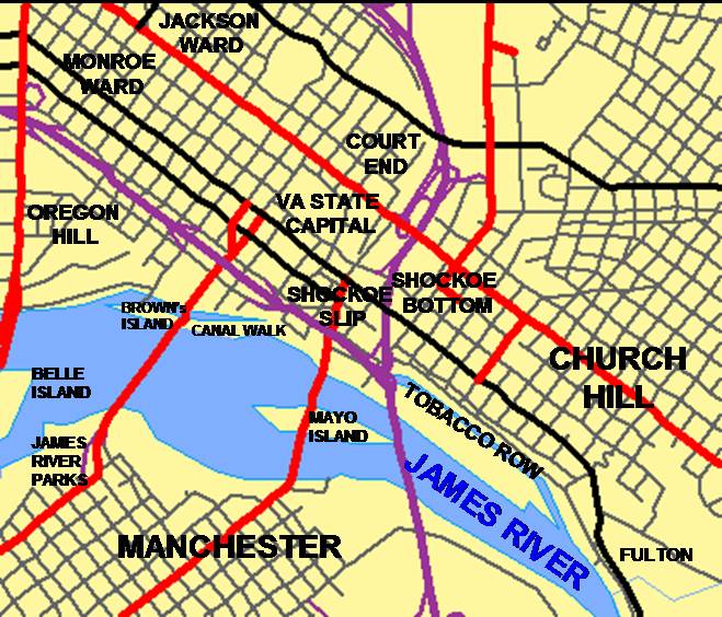
Description: Created by User:MPS using TIGER MAP tool at the US census bureau page. Titles were added by author using MS Powerpoint and MS Paint. Oregon Hill is in the wrong place, and should be west of Belvidere St. That area is part of Monroe Ward I suspect.
Title: DowntownRichmondNeighborhoods
Credit: Transferred from en.wikipedia to Commons.
Author: MPS at English Wikipedia
Usage Terms: Public domain
License: Public domain
Attribution Required?: No
Image usage
The following 3 pages link to this image:

All content from Kiddle encyclopedia articles (including the article images and facts) can be freely used under Attribution-ShareAlike license, unless stated otherwise.