
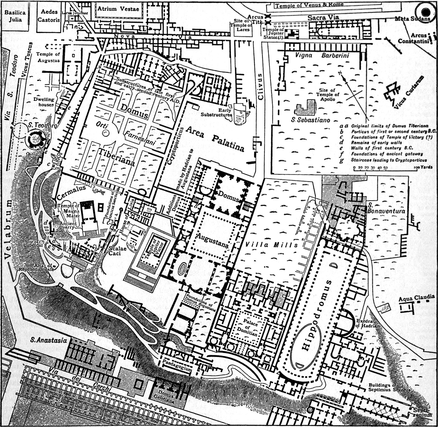
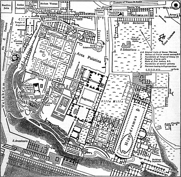
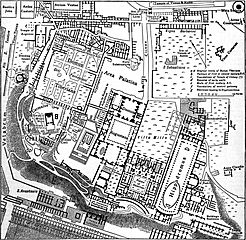
Image: EB1911 Rome - Plan of the Palatine
Size of this preview: 614 × 599 pixels. Other resolutions: 246 × 240 pixels | 1,729 × 1,687 pixels.
Original image (1,729 × 1,687 pixels, file size: 1.38 MB, MIME type: image/jpeg)
Description: Map of the Palatine in Rome.
Title: EB1911 Rome - Plan of the Palatine
Credit: Encyclopædia Britannica (11th ed.), v. 23, 1911, “Rome,” p. 599, fig. 10.
Author: From Richter's Topographie der Stadt Rom by permission of C. H. Beck'sche Verlagsbuchhandlung
Permission: This image comes from the 12th edition of the Encyclopædia Britannica or earlier. The copyrights for that book have expired in the United States because the book was first published in the US with the publication occurring before January 1, 1923. As such, this image is in the public domain in the United States.
Usage Terms: Public domain
License: Public domain
Attribution Required?: No
Image usage
The following page links to this image:

All content from Kiddle encyclopedia articles (including the article images and facts) can be freely used under Attribution-ShareAlike license, unless stated otherwise.