
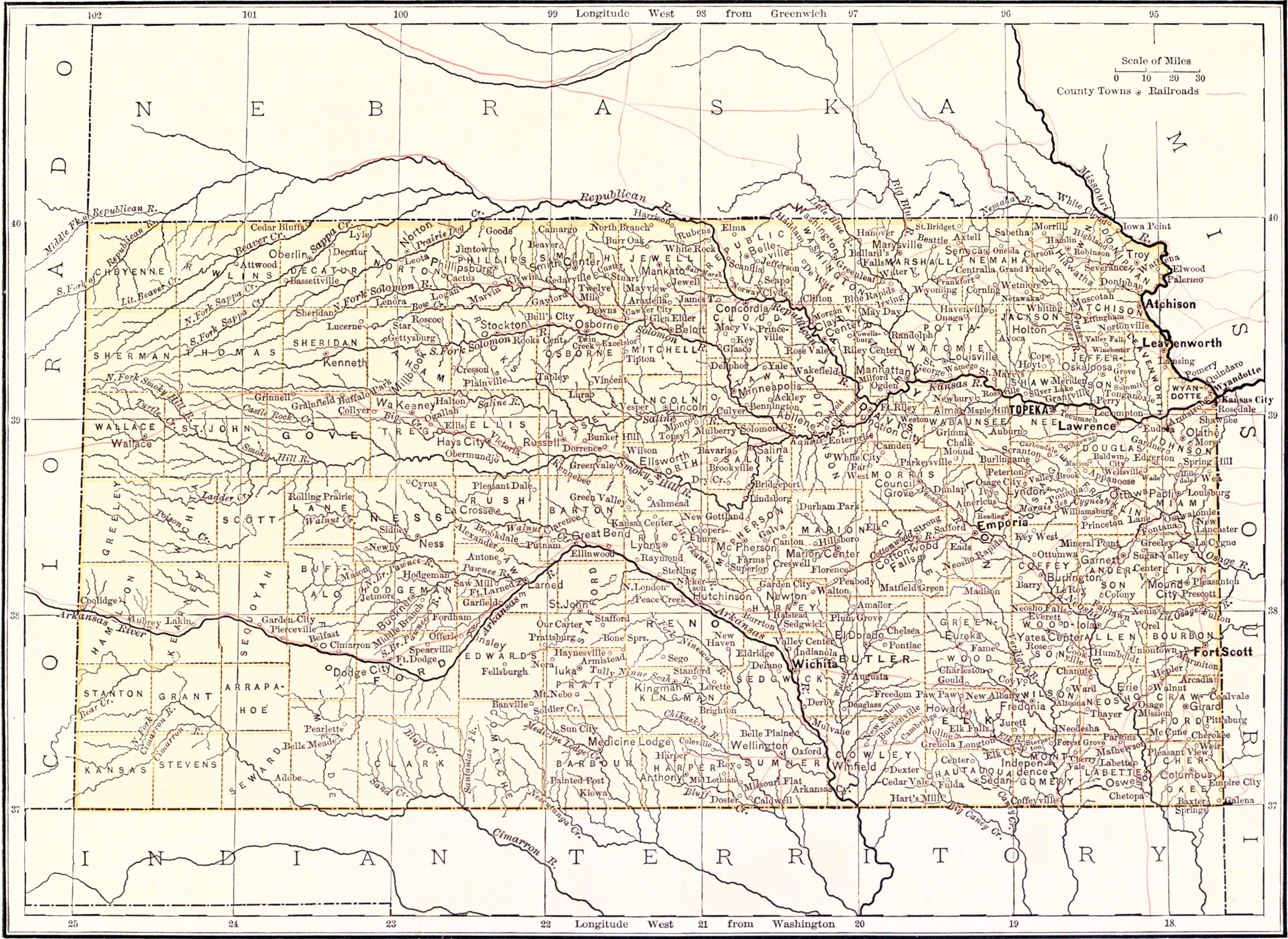
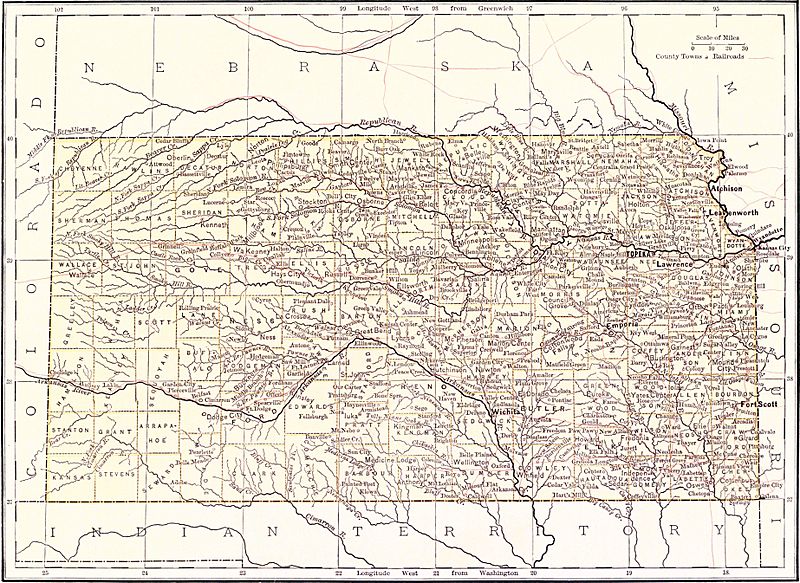
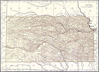
Image: EB9 Kansas
Size of this preview: 800 × 583 pixels. Other resolutions: 320 × 233 pixels | 3,689 × 2,689 pixels.
Original image (3,689 × 2,689 pixels, file size: 1.89 MB, MIME type: image/jpeg)
Description: Map of Kansas.
Title: EB9 Kansas
Credit: Encyclopædia Britannica (9th ed.), v. 13, 1881, facing p. 842.
Author: cartographer not specified; other state maps like this were made by W. & A. K. Johnston Edinburgh (Maine for example)
Permission: Public domainPublic domainfalsefalse This image comes from the 13th edition of the Encyclopædia Britannica or earlier. The copyrights for that book have expired in the United States because the book was first published in the US with the publication occurring before January 1, 1927. As such, this image is in the public domain in the United States.
Usage Terms: Public domain
License: Public domain
Attribution Required?: No
Image usage
The following page links to this image:

All content from Kiddle encyclopedia articles (including the article images and facts) can be freely used under Attribution-ShareAlike license, unless stated otherwise.