
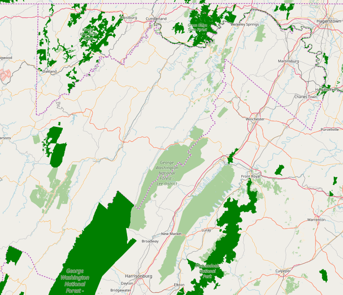
Image: Eastern Panhandle of West Virginia Location Map

Description: Location Map for the Eastern Panhandle of West Virginia
Title: Eastern Panhandle of West Virginia Location Map
Credit: OpenStreetMap® open data, licensed under the Open Data Commons Open Database License (ODbL) by the OpenStreetMap Foundation (OSMF). The cartography in these map tiles is licensed under the Creative Commons Attribution-ShareAlike 2.0 license (CC BY-SA).
Author: This map was produced by Quercus montana using OpenStreetMap® open data, licensed under the Open Data Commons Open Database License (ODbL) by the OpenStreetMap Foundation (OSMF). The cartography in these map tiles is licensed under the Creative Commons Attribution-ShareAlike 2.0 license (CC BY-SA).
Usage Terms: Creative Commons Attribution-Share Alike 2.0
License: CC BY-SA 2.0
License Link: https://creativecommons.org/licenses/by-sa/2.0
Attribution Required?: Yes
Image usage
The following 28 pages link to this image:
- Berkeley Springs station
- Bolivar, West Virginia
- Capon Chapel
- Fort Mill Ridge Civil War Trenches
- Fort Pleasant
- Fort Van Meter (Hampshire County, West Virginia)
- Hampshire County Courthouse (West Virginia)
- Harpers Ferry, West Virginia
- Hebron Church (Intermont, West Virginia)
- Hook's Tavern
- Inwood, West Virginia
- Junction, West Virginia
- Kuykendall Polygonal Barn
- Literary Hall
- Martinsburg, West Virginia
- Morgan Morgan Monument
- North River Mills Historic District
- Old Pine Church
- Romney, West Virginia
- Scanlon Farm
- Shepherdstown, West Virginia
- Sloan–Parker House
- Sycamore Dale
- Valley, West Virginia
- Valley View (Romney, West Virginia)
- Valley View Island
- Washington Bottom Farm
- Wilson-Wodrow-Mytinger House
