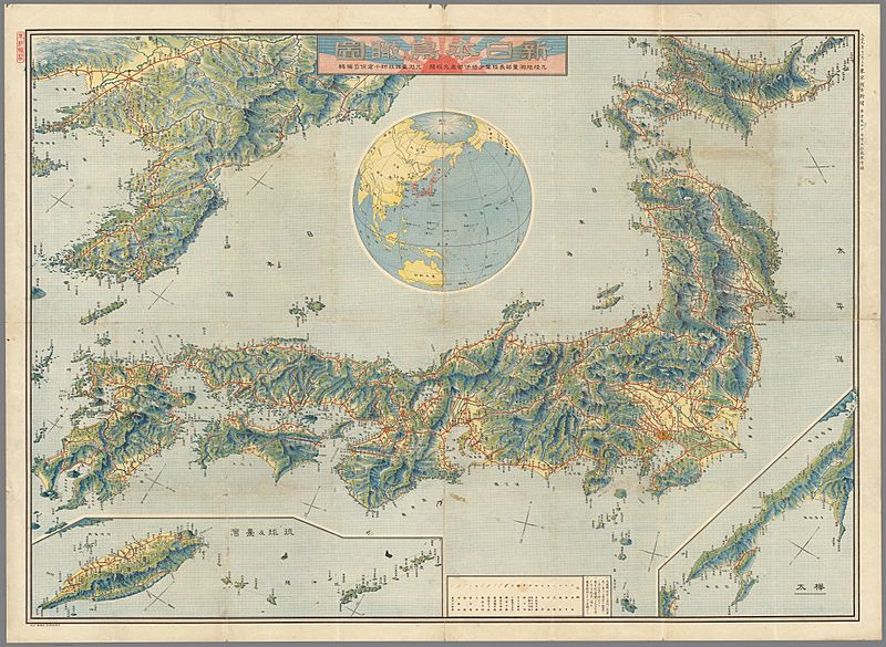
Image: Empire-of-Japan-Topographic-Map-大日本帝国の地形図-1918

Description: Topographic map of the Empire of Japan in 1918. It is a detailed, high quality map. Description says: "November 3, 1918. Tokyo Asahi Shimbun No. 1 Manga Senjo Hyakugo Ritsusho. New Japan bird Eye View. Former Japanese Imperial Land Survey Army Major General Ibe Naomitsu School Calibration. Former Surveying Department Engineer, edited by Ryoji Ogura."
Title: Empire-of-Japan-Topographic-Map-大日本帝国の地形図-1918
Credit: Map Mania.org https://web.archive.org/web/20210514141905/https://www.mapmania.org/map/86749/1915_map_of_japan_korea__taiwan
Author: Asahi Shimbun, Tokyo
Usage Terms: Creative Commons Attribution-Share Alike 1.0
License: CC BY-SA 1.0
License Link: https://creativecommons.org/licenses/by-sa/1.0
Attribution Required?: Yes
Image usage
The following 2 pages link to this image:

