
Image: English counties 1851 with ridings

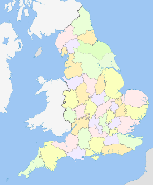
Description: Map showing the historical counties of England in 1851, excluding the City of London, and including the ridings of Yorkshire. Exclaves and major rivers shown. Equirectangular map projection on WGS 84 datum, with N/S stretched 170% Geographic limits: West: 6.75W East: 2.0E North: 56.0N South: 49.75N
Title: English counties 1851 with ridings
Credit: This file was derived from: England counties 1851.png: English ceremonial counties 2010.svg:
Author: England counties 1851.png: MRSC English ceremonial counties 2010.svg: Nilfanion derivative work: Dr Greg
Usage Terms: Creative Commons Attribution-Share Alike 3.0
License: CC BY-SA 3.0
License Link: http://creativecommons.org/licenses/by-sa/3.0
Attribution Required?: Yes
Image usage
The following 3 pages link to this image:
