
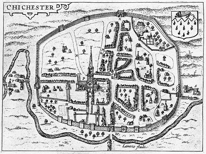
Image: Engraved map of Chichester from John Speed's 1610 map of Sussex

Size of this preview: 800 × 597 pixels. Other resolutions: 320 × 239 pixels | 1,084 × 809 pixels.
Original image (1,084 × 809 pixels, file size: 751 KB, MIME type: image/jpeg)
Description: Engraved map of Chichester from John Speed's 1610 map of Sussex
Title: Engraved map of Chichester from John Speed's 1610 map of Sussex
Credit: https://chichestersociety.org.uk/digital-trail-6-chichester-during-the-civil-war-1642-1646/
Author: John Speed
Usage Terms: Public domain
License: Public domain
Attribution Required?: No
Image usage
The following 3 pages link to this image:

All content from Kiddle encyclopedia articles (including the article images and facts) can be freely used under Attribution-ShareAlike license, unless stated otherwise.