
Image: Falkland Islands location map

Size of this PNG preview of this SVG file: 737 × 600 pixels. Other resolution: 295 × 240 pixels.
Original image (SVG file, nominally 1,134 × 923 pixels, file size: 138 KB)
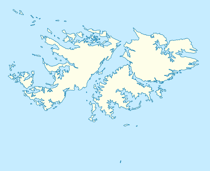
Description: Location map of the Falkland Islands
Title: Falkland Islands location map
Credit: own work, using United States National Imagery and Mapping Agency data
Author: NordNordWest
Usage Terms: Creative Commons Attribution 3.0
License: CC BY 3.0
License Link: https://creativecommons.org/licenses/by/3.0
Attribution Required?: Yes
Image usage
The following 26 pages link to this image:
- Ajax Bay
- Broken Island, Falkland Islands
- Carcass Island
- Centre Island, Falkland Islands
- Darwin, Falkland Islands
- East Island, Falkland Islands
- Elephant Jason Island
- Flat Jason Island
- Goose Green
- Governor Island, Falkland Islands
- Grand Jason Island
- Hill Cove
- Horse Block
- Narrow Island, Falkland Islands
- North Arm
- Orqueta
- Passage Island, Falkland Islands
- Port Howard
- Rincon Grande
- River Island, Falkland Islands
- Ruggles Island
- Sea Lion Island
- Speedwell Island
- Stanley, Falkland Islands
- Steeple Jason Island
- Walker Creek, Falkland Islands

All content from Kiddle encyclopedia articles (including the article images and facts) can be freely used under Attribution-ShareAlike license, unless stated otherwise.