
Image: Farmland beside the Kingsclere to Whitchurch road - geograph.org.uk - 813552
No higher resolution available.
Farmland_beside_the_Kingsclere_to_Whitchurch_road_-_geograph.org.uk_-_813552.jpg (640 × 480 pixels, file size: 97 KB, MIME type: image/jpeg)
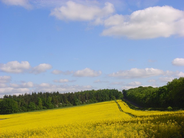
Description: Farmland beside the Kingsclere to Whitchurch road The road is between the rape and the belt of trees to the right of picture. Ahead is Caesar's Belt, a long narrow wood that flanks the Portway Roman road. Relatively little of this picture is within the photographer's square.
Title: Farmland beside the Kingsclere to Whitchurch road - geograph.org.uk - 813552
Credit: From geograph.org.uk
Author: Andrew Smith
Usage Terms: Creative Commons Attribution-Share Alike 2.0
License: CC BY-SA 2.0
License Link: https://creativecommons.org/licenses/by-sa/2.0
Attribution Required?: Yes
Image usage
The following page links to this image:

All content from Kiddle encyclopedia articles (including the article images and facts) can be freely used under Attribution-ShareAlike license, unless stated otherwise.