
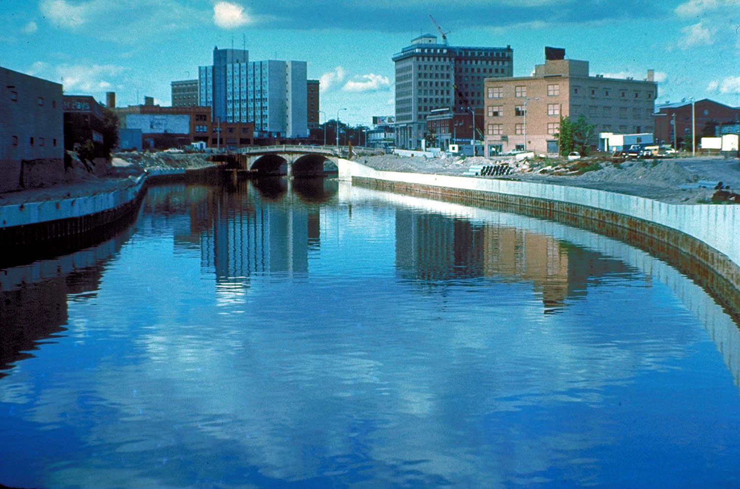
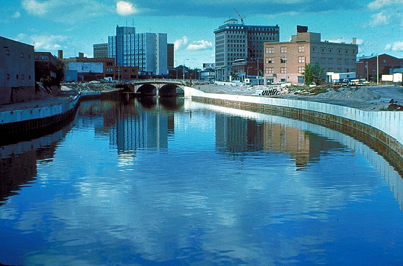
Image: Flint River in Flint MIchigan
Description: The Flint River in Flint, Michigan, USA, in the late 1970s during a U.S. Army Corps of Engineers flood control project, Taken from approximately halfway between the Grand Traverse Street bridge and Beach-Garland Street bridge, looking east. To the right in the distance is the former IMA Auditorium, later part of AutoWorld, demolished in 1997 to make way for an expansion of UM-Flint. The Northbank Center, to the right of the upper center of the photograph, is also now part of UM-Flint.
Title: Flint River in Flint MIchigan
Credit: U.S. Army Corps of Engineers Digital Visual Library Image page Image description page Digital Visual Library home page
Author: U.S. Army Corps of Engineers, photographer not specified or unknown
Permission: This image or file is a work of a U.S. Army Corps of Engineers soldier or employee, taken or made as part of that person's official duties. As a work of the U.S. federal government, the image is in the public domain.
Usage Terms: Public domain
License: Public domain
Attribution Required?: No
Image usage
The following page links to this image:
