
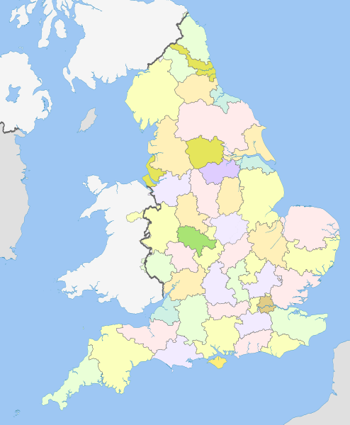
Image: Former postal counties of England

Description: Map of Royal Mail former postal counties of England from 1974 to 1996. Equirectangular map projection on WGS 84 datum, with N/S stretched 170% Geographic limits: West: 6.75W East: 2.0E North: 56.0N South: 49.75N
Title: Former postal counties of England
Credit: This file was derived from: British former postal counties (numbered).svg: English metropolitan and non-metropolitan counties 2010.svg:
Author: British_former_postal_counties_(numbered).svg: Richardguk and Dr Greg English_metropolitan_and_non-metropolitan_counties_2010.svg: Nilfanion derivative work: Dr Greg
Usage Terms: Creative Commons Attribution-Share Alike 3.0
License: CC BY-SA 3.0
License Link: http://creativecommons.org/licenses/by-sa/3.0
Attribution Required?: Yes
Image usage
The following page links to this image:
