
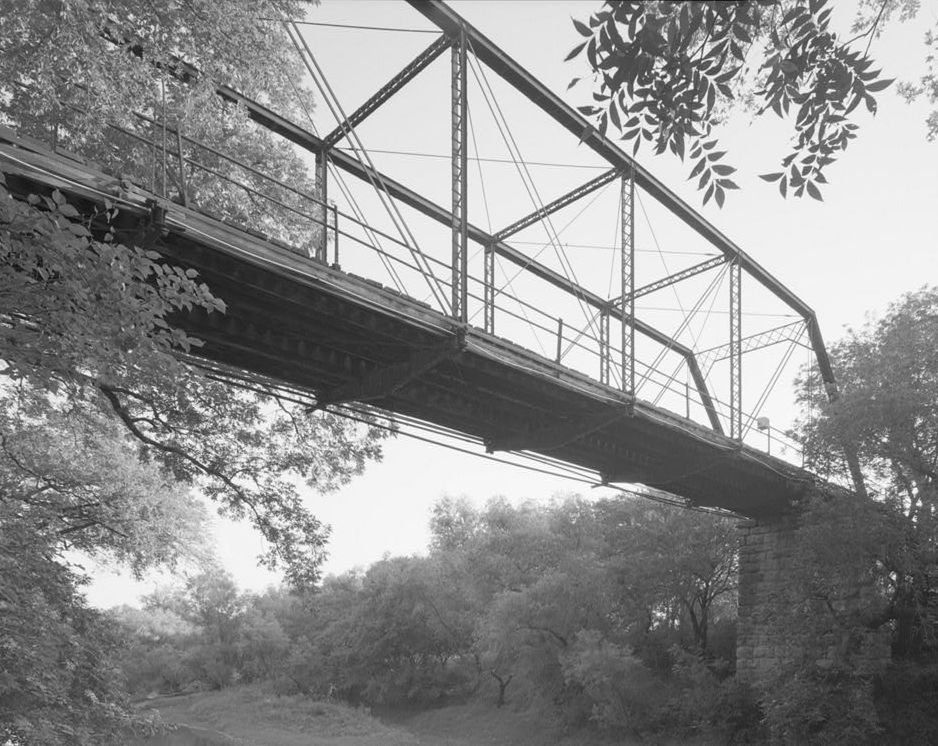
Image: Fort Griffin Iron Truss Bridge, Spanning Clear Fork of Brazos River at County Rout, Fort Griffin vicinity (Shackelford County, Texas)
Description: Fort Griffin Iron Truss Bridge, Spanning Clear Fork of Brazos River at County Rout, Fort Griffin vicinity (Shackelford County, Texas) cropped This image or media file contains material based on a work of a National Park Service employee, created as part of that person's official duties. As a work of the U.S. federal government, such work is in the public domain in the United States. See the NPS website and NPS copyright policy for more information. Creator: U.S. Department of the Interior, National Park Service, Historic American Engineering Record. Survey number HAER TX,209-FOGRIF.V,1-2 Source: U.S. Library of Congress, Prints and Photographs Division, "Built in America" Collection. Copyright: "The original measured drawings and most of the photographs and data pages in HABS/HAER/HALS were created for the U.S. Government and are considered to be in the public domain."
Title: Fort Griffin Iron Truss Bridge, Spanning Clear Fork of Brazos River at County Rout, Fort Griffin vicinity (Shackelford County, Texas)
Credit: http://memory.loc.gov/pnp/habshaer/tx/tx0700/tx0795/photos/366738pv.jpg
Author: Joseph E.. Elliott, Photographer
Usage Terms: Public domain
License: Public domain
Attribution Required?: No
Image usage
The following 3 pages link to this image:

.jpg)