
Image: Fremantle map053 May 1914

Size of this preview: 521 × 600 pixels. Other resolutions: 208 × 240 pixels | 6,933 × 7,979 pixels.
Original image (6,933 × 7,979 pixels, file size: 2.41 MB, MIME type: image/jpeg)
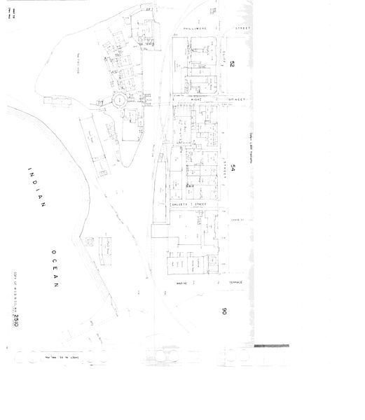
Description: sheet number 53: Map of Arthur Head area Fremantle, including west side of Cliff Street High Street west of Cliff st intersection. Notable features are The Round House, Tram sheds, Long Jetty, Old Kerosene store. to the east sheets 52, 54 & 90, to the North is the Swan River, West and South is Ocean
Title: Fremantle map053 May 1914
Credit: Fremantle History Collection, City of Fremantle
Author: Public Works Department
Usage Terms: Public domain
License: Public domain
Attribution Required?: No
Image usage
The following 2 pages link to this image:

All content from Kiddle encyclopedia articles (including the article images and facts) can be freely used under Attribution-ShareAlike license, unless stated otherwise.