
Image: FrontRoyalToWinchester
Size of this preview: 429 × 599 pixels. Other resolutions: 172 × 240 pixels | 1,344 × 1,878 pixels.
Original image (1,344 × 1,878 pixels, file size: 444 KB, MIME type: image/png)
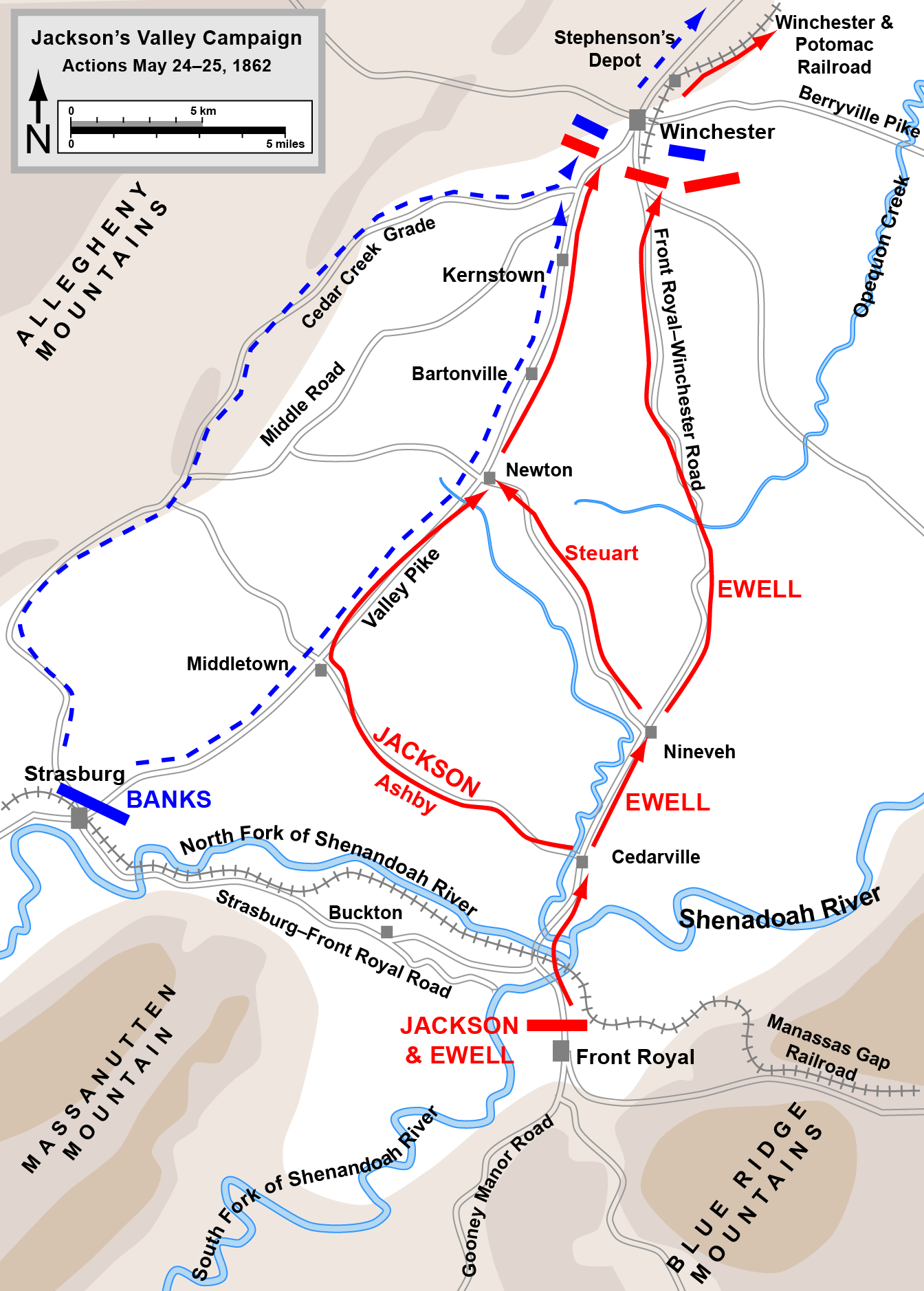
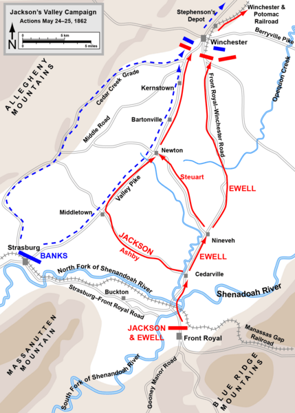
Description: Map of part of Jackson's Valley Campaign (actions from Front Royal to First Winchester, May 23-24, 1862) of the American Civil War.
Title: FrontRoyalToWinchester
Credit: This vector graphics image was created with Adobe Illustrator. Based on graphic source file, available at http://www.posix.com/CWmaps/ Own work
Author: Hal Jespersen at en.wikipedia
Permission: CC-BY-3.0.
Usage Terms: Creative Commons Attribution 3.0
License: CC BY 3.0
License Link: http://creativecommons.org/licenses/by/3.0
Attribution Required?: Yes
Image usage
The following 4 pages link to this image:

All content from Kiddle encyclopedia articles (including the article images and facts) can be freely used under Attribution-ShareAlike license, unless stated otherwise.