
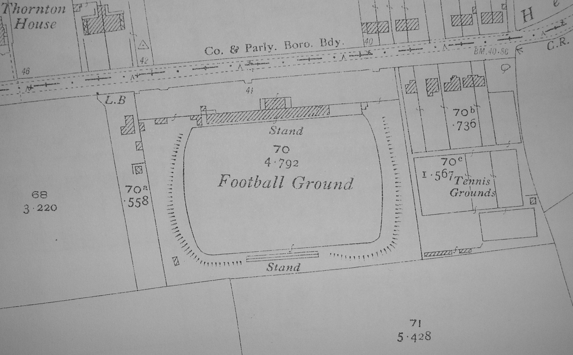
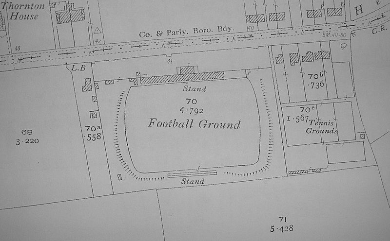
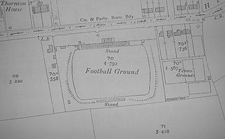
Image: Fulfordgate 1931
Size of this preview: 800 × 496 pixels. Other resolutions: 320 × 198 pixels | 1,855 × 1,150 pixels.
Original image (1,855 × 1,150 pixels, file size: 355 KB, MIME type: image/jpeg)
Description: An Ordnance Survey map from 1931 showing Fulfordgate, former home ground of York City F.C. The road running east-west near the top of the map is Heslington Lane.
Title: Fulfordgate 1931
Credit: 1931 Ordnance Survey map of York
Author: Ordnance Survey
Permission: Free use (public domain) - OS map more than 50 years old
Usage Terms: Public domain
License: Public domain
Attribution Required?: No
Image usage
The following page links to this image:

All content from Kiddle encyclopedia articles (including the article images and facts) can be freely used under Attribution-ShareAlike license, unless stated otherwise.