
Image: Ghat satellite view
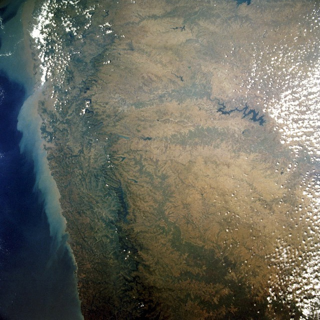
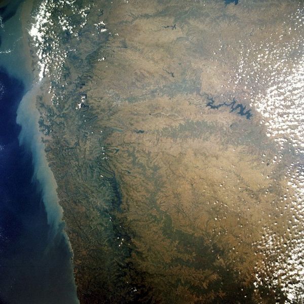
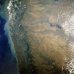
Description: STS052-072-043 Western Ghats, India October 1992 The rugged, forest-covered Western Ghats, an almost uninterrupted chain that parallels the west Indian coast of the Arabian Sea for 1000 miles (1600 kilometers), can be seen in this west- southwest-looking photograph. The mountains present a formidable barrier to winds and transportation; few highways and railroads traverse the chain. With elevations of 3000 to 5000 feet (900 to 1500 meters) above the narrow coastal plain, the mountains have steep seaward faces, while their landward sides that connect with Deccan Plateau (east side of the photograph) are gentle and rolling. Annual precipitation of 70 inches (178 centimeters) along the coast decreases inland to less than 30 inches (76 centimeters). The streams of the Western Ghats are used for hydroelectric power generation. Partially obscured by clouds (northwest corner of the photograph) is the city of Bombay.
Title: Ghat satellite view
Credit: http://earth.jsc.nasa.gov/sseop/EFS/photoinfo.pl?PHOTO=STS052-72-43 Transferred from fr.wikipedia to Commons by Korrigan using CommonsHelper.
Author: mage Science and Analysis Laboratory, NASA-Johnson Space Center. "The Gateway to Astronaut Photography of Earth."
Permission: PD-USGOV-NASA; PD NASA.
Usage Terms: Public domain
License: Public domain
Attribution Required?: No
Image usage
The following page links to this image:
