
Image: Gonave
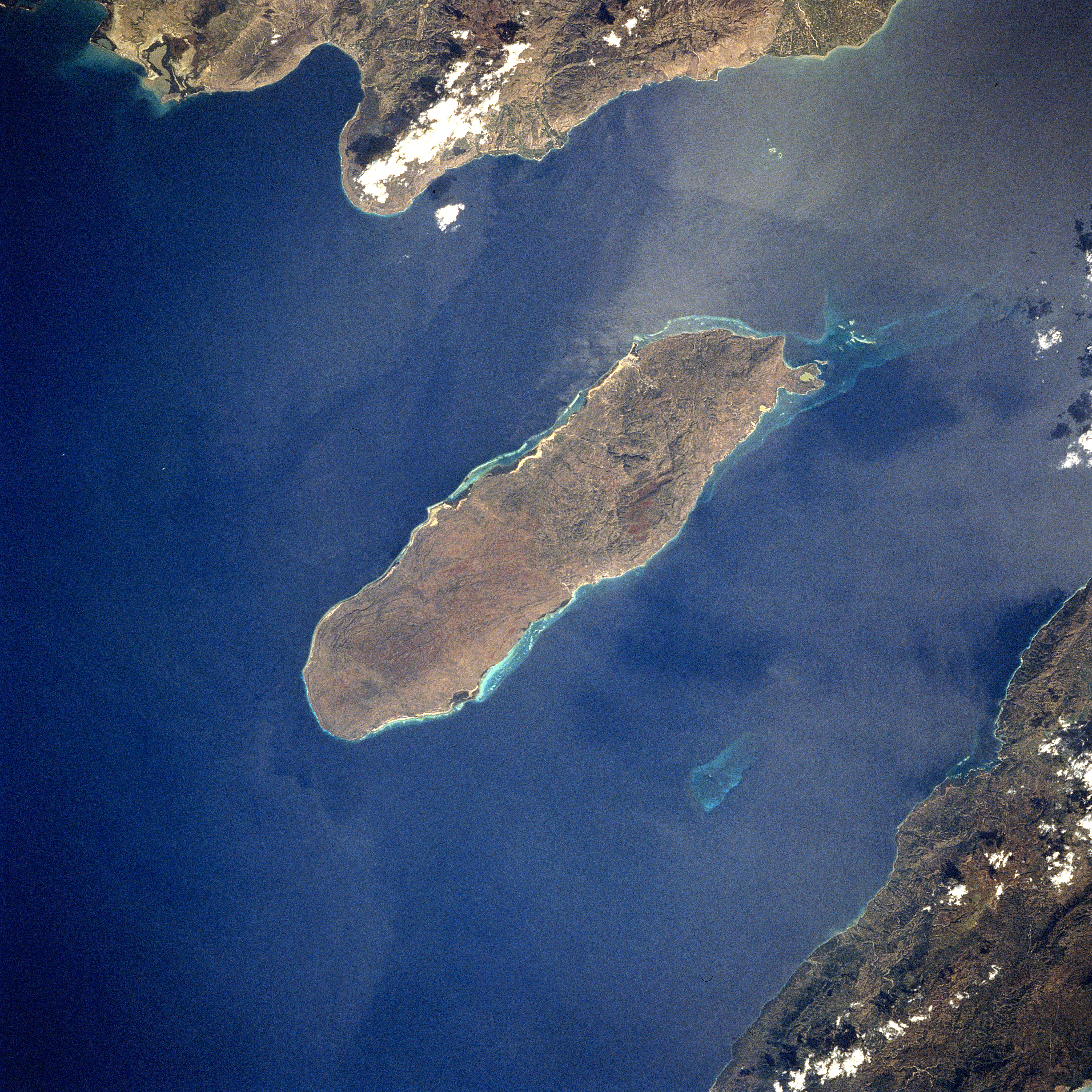
Description: Gonave Island, Haiti - February 1994 Located to the west-northwest of Port Au-Prince, Haiti in the Gulf of Gonave, the reef- fringed island of Gonave can be seen in this near-nadir looking view. Made up of mostly limestone, the island of Gonave is 37 miles (60 km) long and 9 miles (15 km) wide and covers an area of 287 sq. miles (743 sq. km). The island is mostly barren and hilly with the highest point reaching 984 feet (300 meters). The rugged, barren, dry landscape prevents the cultivation of the land for agriculture and human population on the island is scarce. The island was once used as a base for pirates.
Title: Gonave
Credit: Gateway to Astronaut Photography of the Earth NASA Photo ID STS060-84-56, cropped and rotated
Author: NASA
Usage Terms: Public domain
License: Public domain
Attribution Required?: No
Image usage
The following page links to this image:
