
Image: GreenhitheStationFastrack5309
Size of this preview: 800 × 600 pixels. Other resolutions: 320 × 240 pixels | 2,048 × 1,536 pixels.
Original image (2,048 × 1,536 pixels, file size: 772 KB, MIME type: image/jpeg)
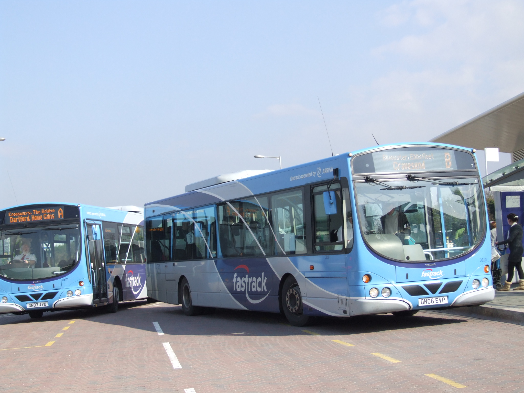
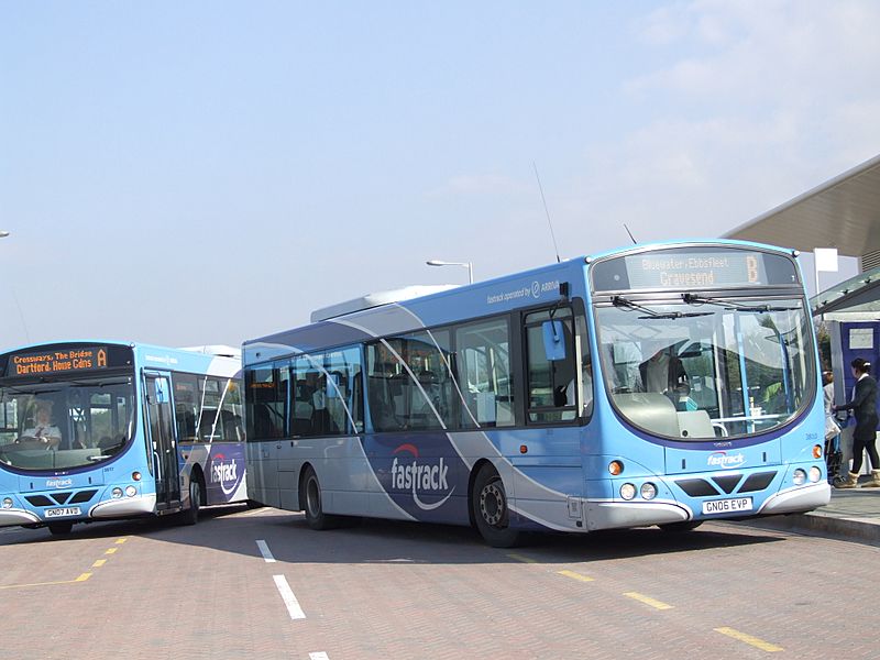
Description: Greenhithe, Kent in April 2008. Fastrack Route A and Route B at Greenhithe Station. At this point, both routes, in both directions stop outside the station. Camera location 51° 27′ 02.88″ N, 0° 16′ 49.08″ E View this and other nearby images on: OpenStreetMap - Google Earth 51.450800; 0.280300 See
Title: GreenhitheStationFastrack5309
Credit: Own work
Author: Clem Rutter, Rochester Kent
Permission: Own work, copyleft: Multi-license with GFDL and Creative Commons CC-BY-SA-2.5 and older versions (2.0 and 1.0)
Usage Terms: Creative Commons Attribution-Share Alike 3.0
License: CC-BY-SA-3.0
License Link: http://creativecommons.org/licenses/by-sa/3.0/
Attribution Required?: Yes
Image usage
The following page links to this image:

All content from Kiddle encyclopedia articles (including the article images and facts) can be freely used under Attribution-ShareAlike license, unless stated otherwise.