
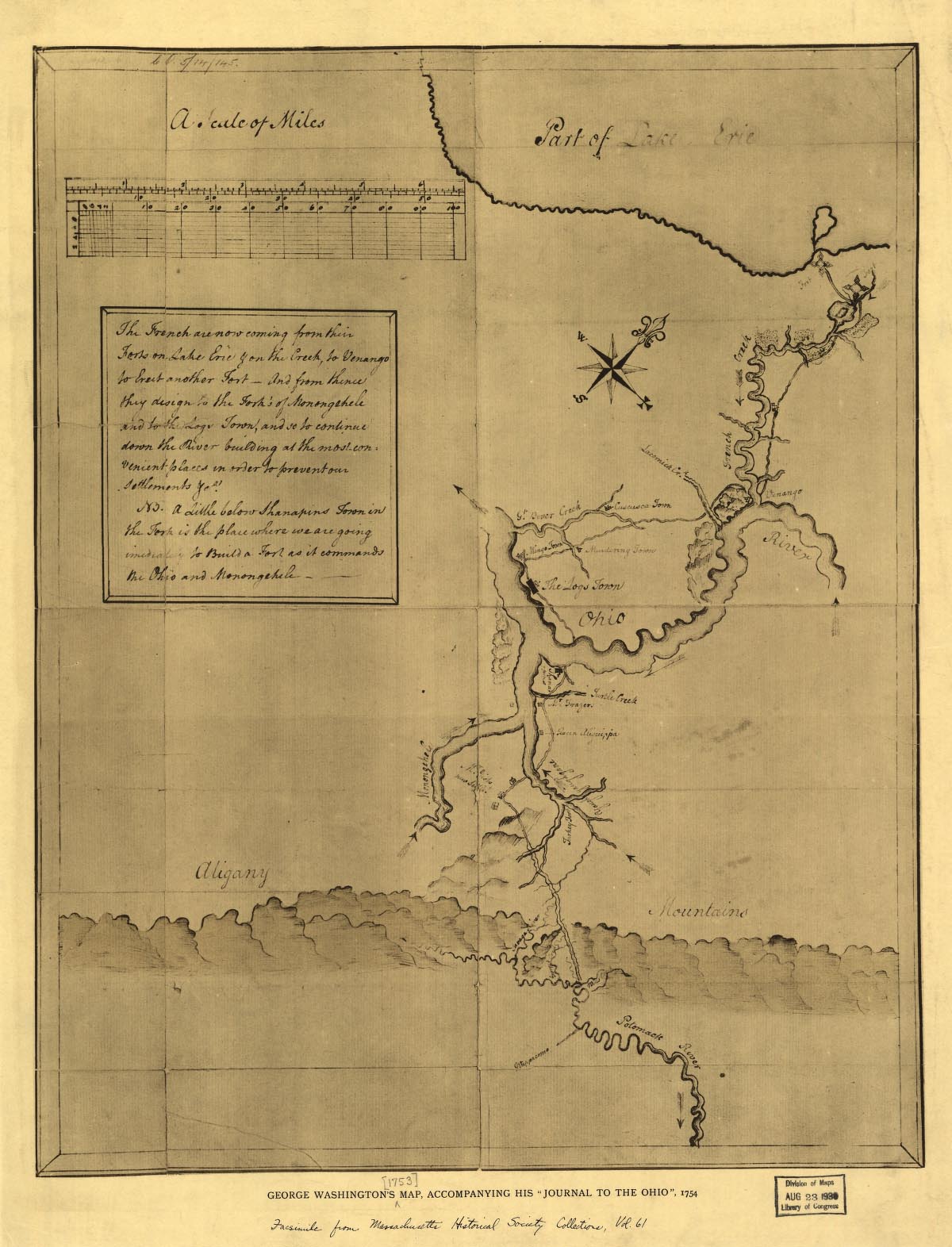
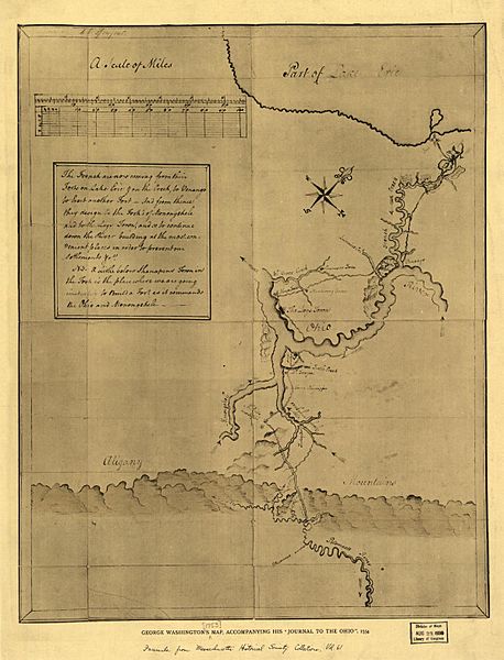
Image: Gwash map01
Description: George Washington's map, accompanying his "journal to the Ohio", 1754. (Eigenhändig gefertigte Karte de:George Washingtons von einem Grundstück am de:Ohio River) Aus der Library of Congress Washington, George, 1732-1799. CREATED/PUBLISHED [Boston, 1927] NOTES Title annotated. Facsimile from Massachusetts' Historical Society Collections, vol. 61. Reproduced in The George Washington Atlas, 1932, plate 11. Scale not given. SUBJECTS Pennsylvania--Maps--Early works to 1800. United States--Pennsylvania. MEDIUM 1 map : col. ; 48 x 38 cm. CALL NUMBER G3820 1754 .W3 1927 TIL REPOSITORY Library of Congress Geography and Map Division Washington, D.C. 20540-4650 DIGITAL ID g3820 ct000361 http://hdl.loc.gov/loc.gmd/g3820.ct000361
Title: Gwash map01
Usage Terms: Public domain
License: Public domain
Attribution Required?: No
Image usage
The following 4 pages link to this image:
