
Image: Haiti relief location map
Size of this preview: 770 × 599 pixels. Other resolutions: 308 × 240 pixels | 1,156 × 900 pixels.
Original image (1,156 × 900 pixels, file size: 314 KB, MIME type: image/jpeg)
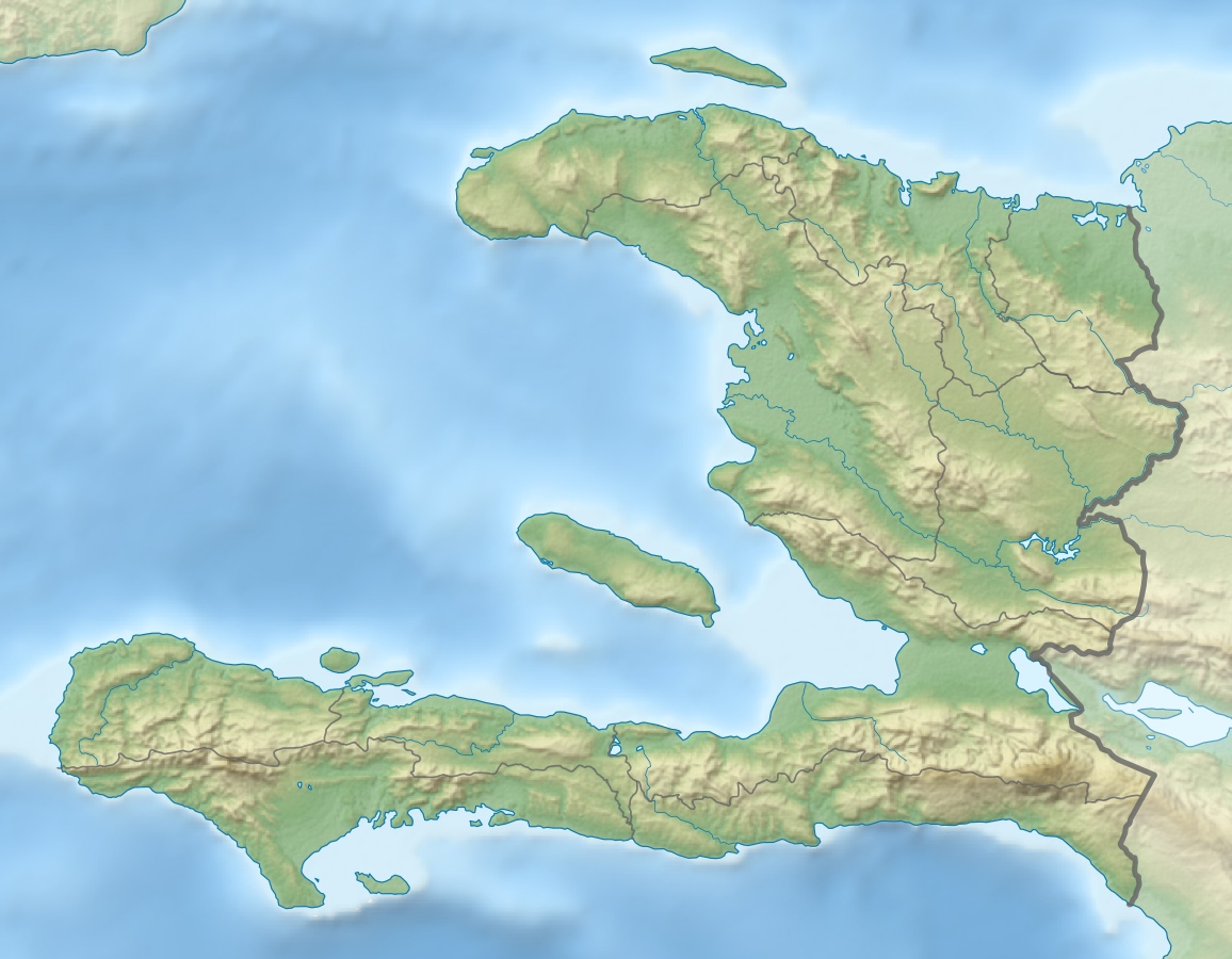
Description: Physical Location map Haiti with departements, Equirectangular projection, N/S stretching 105 %. Geographic limits of the map:
Title: Haiti relief location map
Credit: Own work, SRTM3, ETOPO1, VMAP0, OpenStreetMap for departements boundaries
Author: Alexrk2
Permission: All OpenStreetMap data and maps are Creative Commons "CC-BY-SA 2.0" licensed
Usage Terms: Creative Commons Attribution-Share Alike 3.0
License: CC BY-SA 3.0
License Link: http://creativecommons.org/licenses/by-sa/3.0
Attribution Required?: Yes
Image usage
The following 4 pages link to this image:

All content from Kiddle encyclopedia articles (including the article images and facts) can be freely used under Attribution-ShareAlike license, unless stated otherwise.