
Image: Hale-o-pi-ilani-heiau
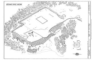
Size of this preview: 800 × 524 pixels. Other resolutions: 320 × 210 pixels | 1,105 × 724 pixels.
Original image (1,105 × 724 pixels, file size: 179 KB, MIME type: image/jpeg)
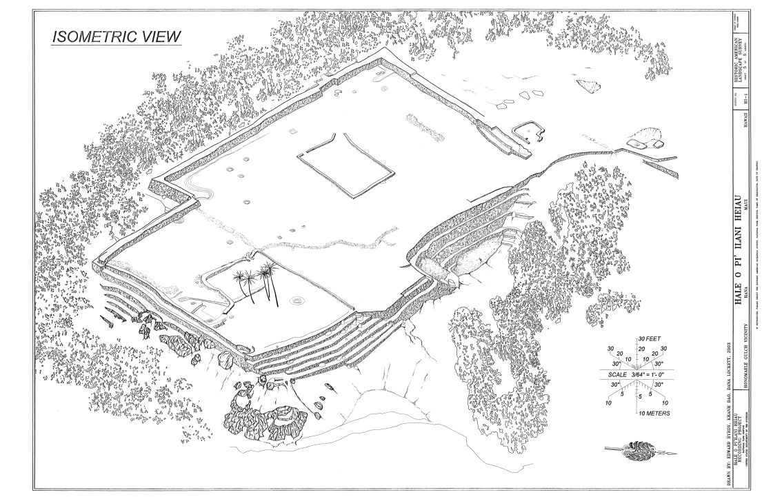
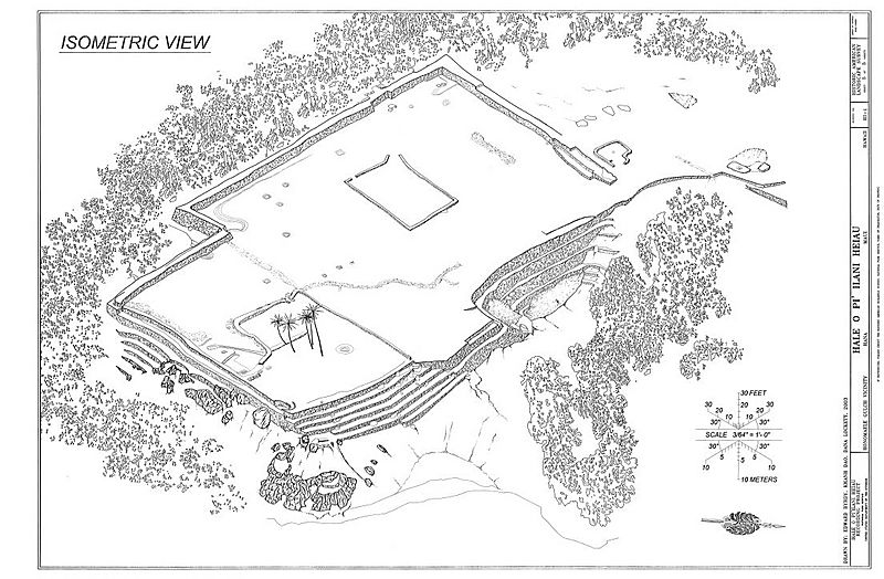
Description: Isometric view of Hale O Pi' Ilani Heiau — Honomaele Gulch vicinity, Hana, Maui County, Hawaii. Approximate lat/long: 20°48′15″N 156°2′25″W / 20.80417°N 156.04028°W / 20.80417; -156.04028 Image has been reduced, and border partially trimmed.
Title: Hale-o-pi-ilani-heiau
Credit: Historic American Landscapes Survey, No. HALS-HI-1, sheet 5 of 5. [1]
Author: Edward Byrdy, Khanh Dao, Dana Lockett
Permission: Public domain work of U.S. Gov't agency
Usage Terms: Public domain
License: Public domain
Attribution Required?: No
Image usage
The following 5 pages link to this image:

All content from Kiddle encyclopedia articles (including the article images and facts) can be freely used under Attribution-ShareAlike license, unless stated otherwise.