
Image: Halley isogonic 1701
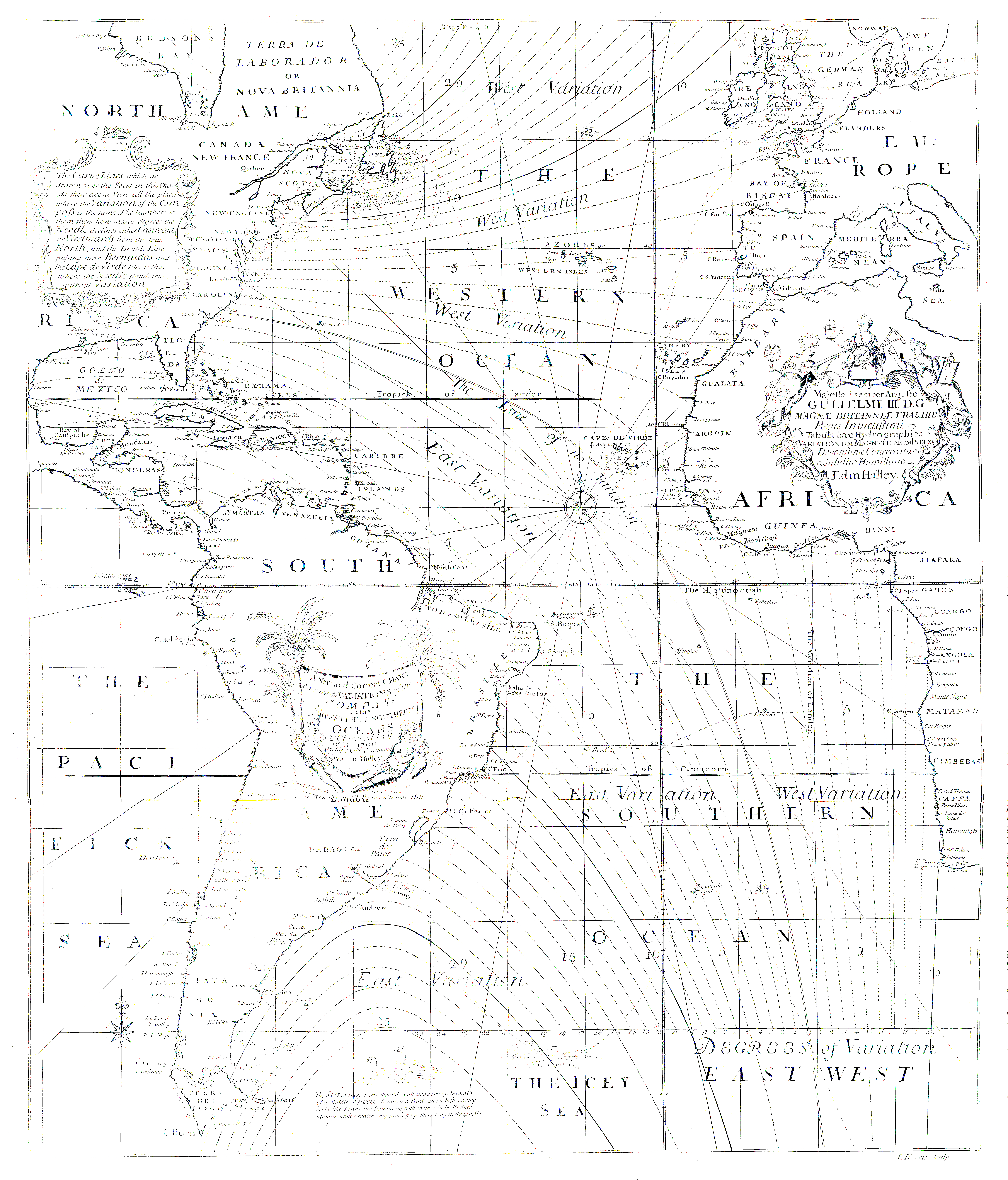
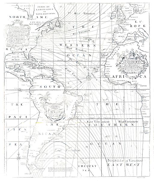
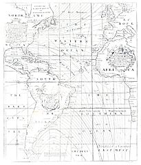
Description: A new and correct chart shewing the variations of the compass in the Western & Southern Oceans as observed in ye year 1700 by his Majesties command by Edm. Halley. - Sir Edmond Halley, best known for his computation of the orbit of what would come to be known as Halley's Comet, pioneered understanding of trade winds, tides, cartography, naval navigation, mortality tables, and stellar proper motions. In 1699 he explored the Atlantic Ocean and recorded its magnetic declination (isogones) or compass variations. Halley's map was the first printed map to show isogones.
Title: Halley isogonic 1701
Author: London, [W. and J. Mount, and T. Page]
Permission: Public domainPublic domainfalsefalse This work is in the public domain in its country of origin and other countries and areas where the copyright term is the author's life plus 100 years or fewer. You must also include a United States public domain tag to indicate why this work is in the public domain in the United States. This file has been identified as being free of known restrictions under copyright law, including all related and neighboring rights. https://creativecommons.org/publicdomain/mark/1.0/PDMCreative Commons Public Domain Mark 1.0falsefalse
Usage Terms: Public domain
License: Public domain
Attribution Required?: No
Image usage
The following page links to this image:
