
Image: Hellscanyon l7 2002262 lrg
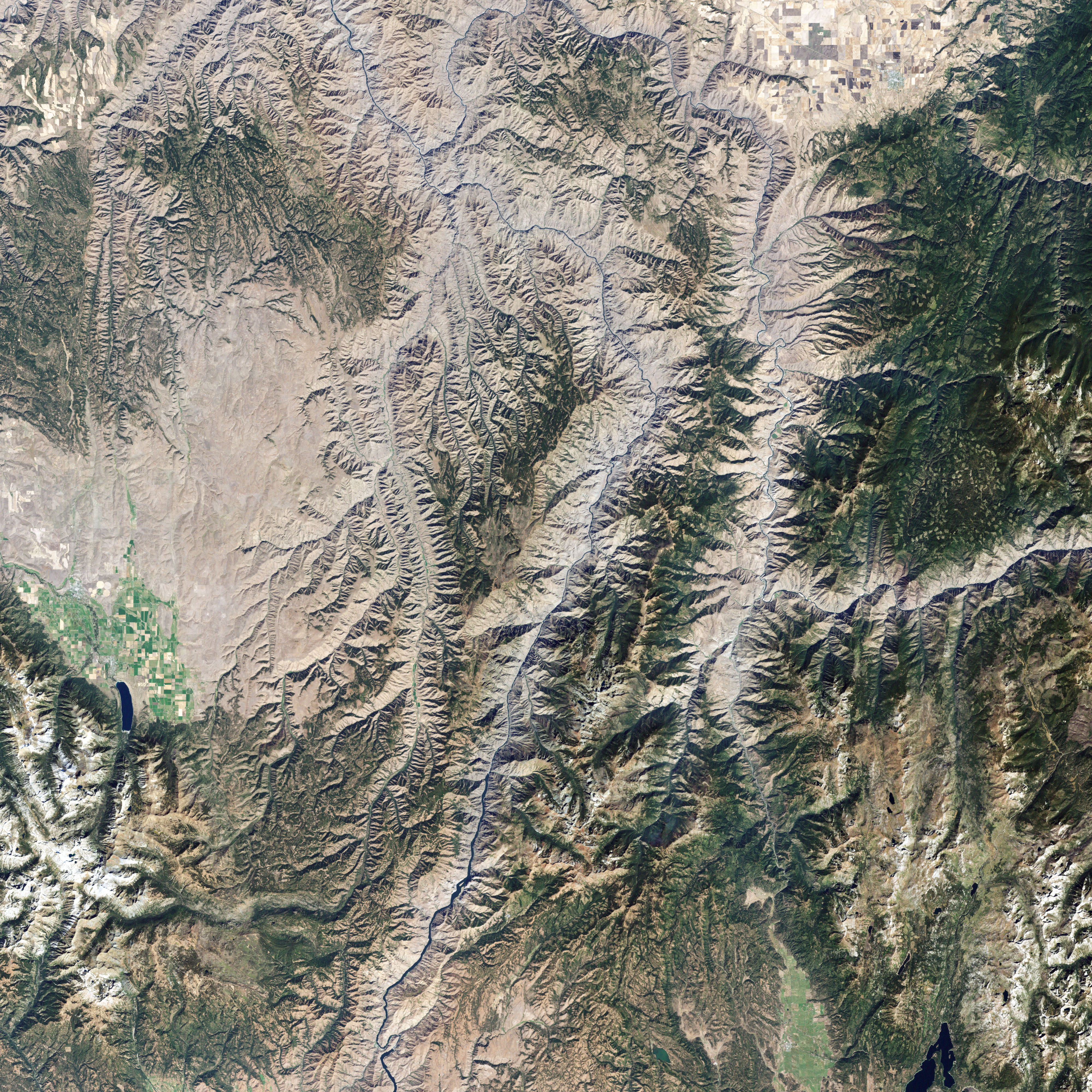
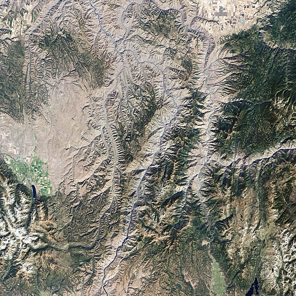
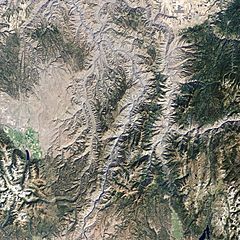
Description: Satellite picture of Hells Canyon National Recreation Area— in eastern Idaho and western Oregon. The image shows the northern part of the canyon, where the Imnaha River joins the Snake River. (Both rivers flow north.) The landscape is a mixture of green vegetation in gullies and along creeks and pale beige-gray, where the grasslands that dominate Hells Canyon have likely gone dormant in the heat and dryness of late summer. In places, the canyon walls are bare cliffs. This natural-color image of Hells Canyon was captured by NASA’s Landsat-7 satellite on September 19, 2002.
Title: Hellscanyon l7 2002262 lrg
Credit: http://earthobservatory.nasa.gov/IOTD/view.php?id=37320
Author: NASA image created by Jesse Allen, using Landsat data provided by the United States Geological Survey. Caption by Rebecca Lindsey.
Usage Terms: Public domain
License: Public domain
Attribution Required?: No
Image usage
The following page links to this image:
