
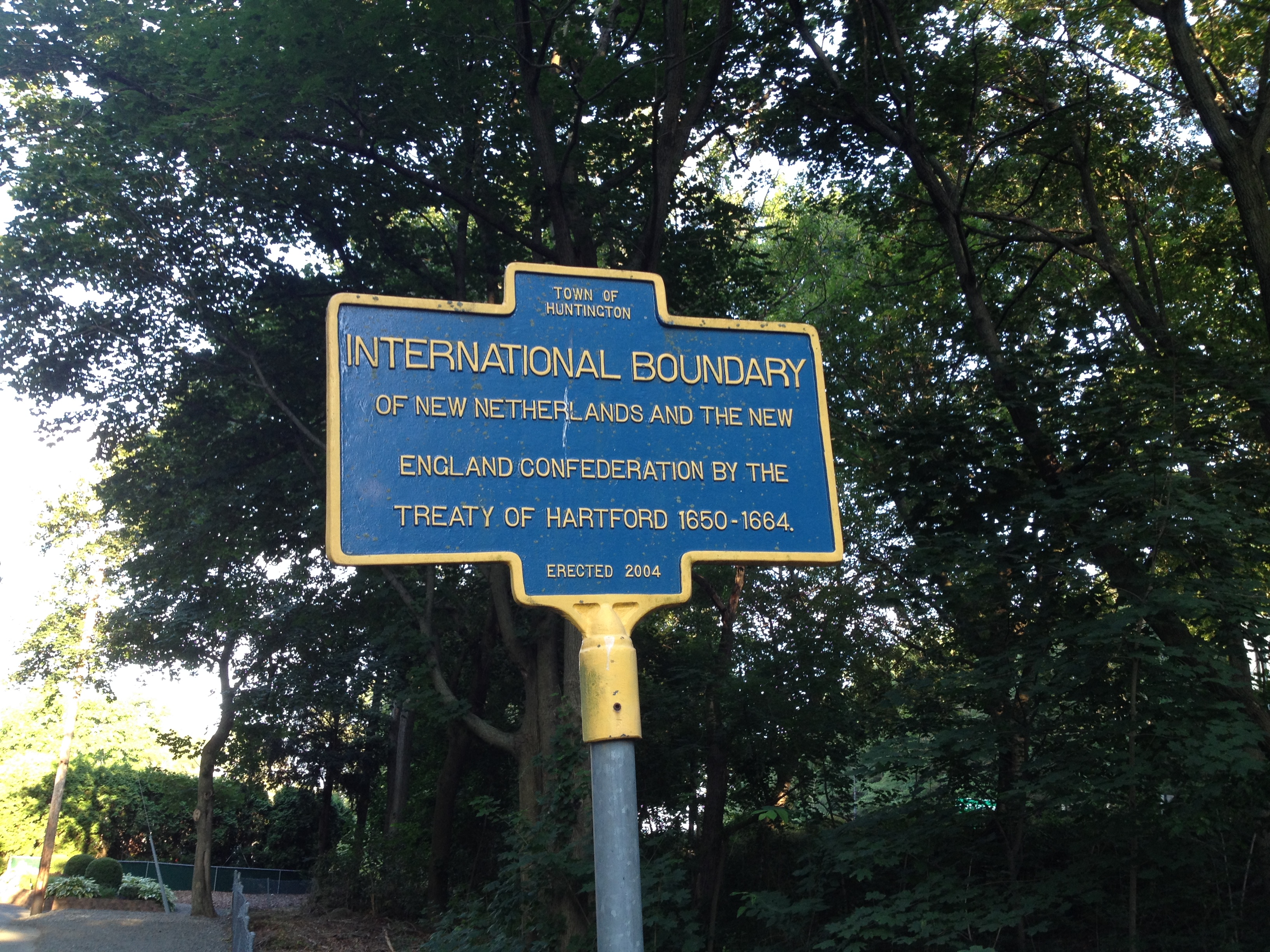
Image: Historical Marker of the Treaty of Hartford Boundary (1650)
Size of this preview: 800 × 600 pixels. Other resolutions: 320 × 240 pixels | 3,264 × 2,448 pixels.
Original image (3,264 × 2,448 pixels, file size: 3.08 MB, MIME type: image/jpeg)
Description: A historical marker located at the border of Nassau County and Suffolk County on Manetto Hill Drive in West Hills, Long Island, New York indicating the boundary between New Netherlands and The New England Confederation under the Treaty of Hartford (1650-1664). Sign is located at 40°48'19.1"N 73°26'55.4"W
Title: Historical Marker of the Treaty of Hartford Boundary (1650)
Credit: Own work
Author: Rschaffrath
Usage Terms: Creative Commons Attribution-Share Alike 4.0
License: CC BY-SA 4.0
License Link: https://creativecommons.org/licenses/by-sa/4.0
Attribution Required?: Yes
Image usage
The following 2 pages link to this image:

All content from Kiddle encyclopedia articles (including the article images and facts) can be freely used under Attribution-ShareAlike license, unless stated otherwise.
.jpg)