
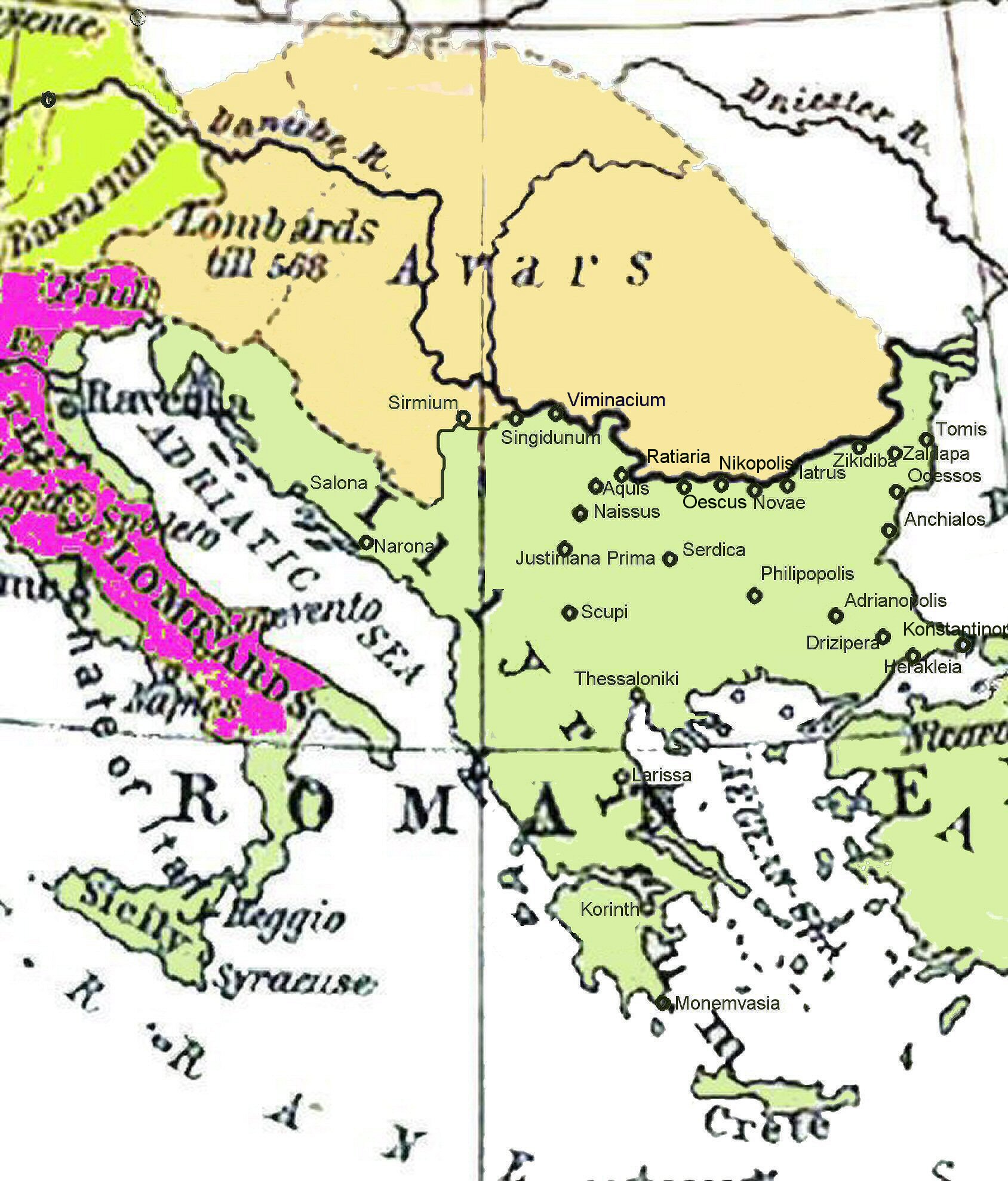
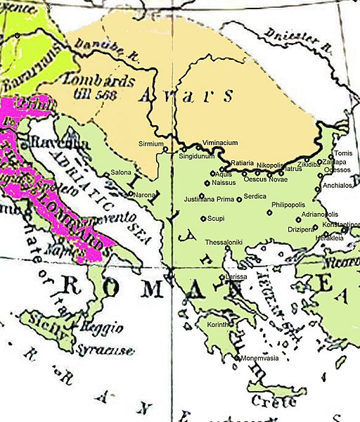
Image: Historical map of the Balkans around 582-612 AD
Size of this preview: 512 × 600 pixels. Other resolutions: 205 × 240 pixels | 1,688 × 1,977 pixels.
Original image (1,688 × 1,977 pixels, file size: 476 KB, MIME type: image/jpeg)
Description: Historical map of the Balkans around 582-612 AD showing the Avar Khaganate, Byzantine (Eastern Roman) Empire.
Title: Historical map of the Balkans around 582-612 AD
Credit: Ursprung Shepherd, William: Historical Atlas. New York: Henry Holt and Company, 1911
Author: William Shepherd R. (1871-1934); Wolf Halama (nur der hier überarbeitete Kartenausschnitt)
Usage Terms: Public domain
License: Public domain
Attribution Required?: No
Image usage
The following page links to this image:

All content from Kiddle encyclopedia articles (including the article images and facts) can be freely used under Attribution-ShareAlike license, unless stated otherwise.