
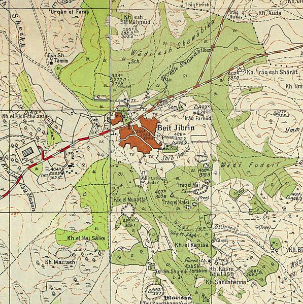
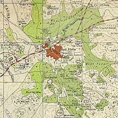
Image: Historical map series for the area of Bayt Jibrin (1940s)

Description: A 1940s map of the area of Bayt Jibrin from the Survey of Palestine. This map is part of a series of historical maps used for comparison, showing the same area, showing the same area, made with help from Palestine Open Maps. Related files include: See also
Title: Historical map series for the area of Bayt Jibrin (1940s)
Credit: Sources for historical series of maps as follows: PEF Survey of Palestine Survey of PalestineOverlay from Palestine Open Maps OpenStreetMap
Author: Sources for historical series of maps as follows: PEF Survey of Palestine Survey of PalestineOverlay from Palestine Open Maps OpenStreetMap
Permission: This work was created or ordered by the State of Israel, and is in the public domain because it satisfies one of the conditions stipulated in Israel's copyright statute from 2007 (translation) regarding the State's copyrights: It is a statute, regulation, Knesset protocol or court decision and therefore ineligible for copyright protection according to §6 of the 2007 statute; OR It was created more than 50 years ago (i.e. before 1 January 1973), and the State's copyright has therefore expired according to §§42–43 of the 2007 statute PROVIDING THATThe State of Israel was the first owner of copyrights on this work; AND The State did not waive its copyrights in a special contract with the author when this work was created. See also category: PD Israel & British Mandate.
Usage Terms: Public domain
License: Public domain
Attribution Required?: No
Image usage
The following page links to this image:

.jpg)