
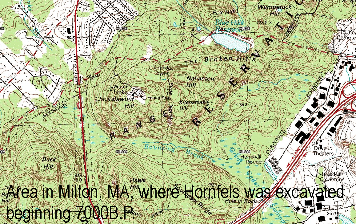
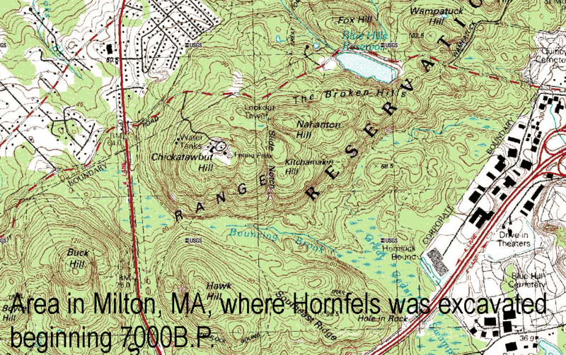
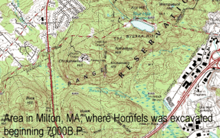
Image: Hornfels Map
Size of this preview: 800 × 503 pixels. Other resolutions: 320 × 201 pixels | 1,157 × 727 pixels.
Original image (1,157 × 727 pixels, file size: 2.1 MB, MIME type: image/png)
Description: Map showing the area south of Chickatawbut Road, Milton, Massachusetts, where Hornfels was excavated from 7000 B.P. until around 1600 A.D.
Title: Hornfels Map
Credit: USGS Topo
Author: Title by User:Jsmeslwoodward
Usage Terms: Public domain
License: Public domain
Attribution Required?: No
Image usage

All content from Kiddle encyclopedia articles (including the article images and facts) can be freely used under Attribution-ShareAlike license, unless stated otherwise.